Bernese Oberland as a 3D Relief
Handmade in the Bavarian Alps.
Eiger, Mönch and Jungfrau, the Lauterbrunnen Valley and the Aletsch: from the Bernese Oberland and the Bernese Alps we offer single-color mountain reliefs in the Classic line, plus the Lauberhorn downhill, the Jungfrau Marathon and the Eiger Ultratrail as Track with a raised line.
-
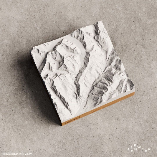
Mountain Model Classic | Eiger, Jungfrau Mönch
通常価格 $129.00 CADから通常価格単価 あたり -
Mountain Model Classic | Aletsch, Brig
通常価格 $129.00 CADから通常価格単価 あたり -
Mountain Model Classic | Lötschental
通常価格 $129.00 CADから通常価格単価 あたり -
Mountain Model Track | Eiger Ultratrail | 2025
通常価格 $200.00 CADから通常価格単価 あたり -
Mountain Model Track | Eiger Ultratrail | 2026
通常価格 $200.00 CADから通常価格単価 あたり -
Mountain Model Track | Jungfrau Marathon | 2025
通常価格 $191.00 CADから通常価格単価 あたり -
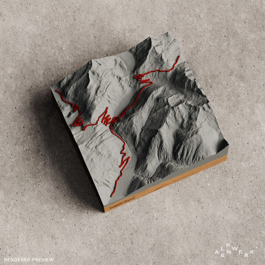
Mountain Model Track | Furkapass - Grimselpass
通常価格 $156.00 CADから通常価格単価 あたり -
TrailMap | Eiger Ultratrail | 2025
通常価格 $279.00 CAD通常価格単価 あたり -
TrailMap | Jungfrau-Marathon | 2026
通常価格 $226.00 CADから通常価格単価 あたり -
Mountain Model Classic | Rivendell - Lauterbrunnental
通常価格 $121.00 CADから通常価格単価 あたり -
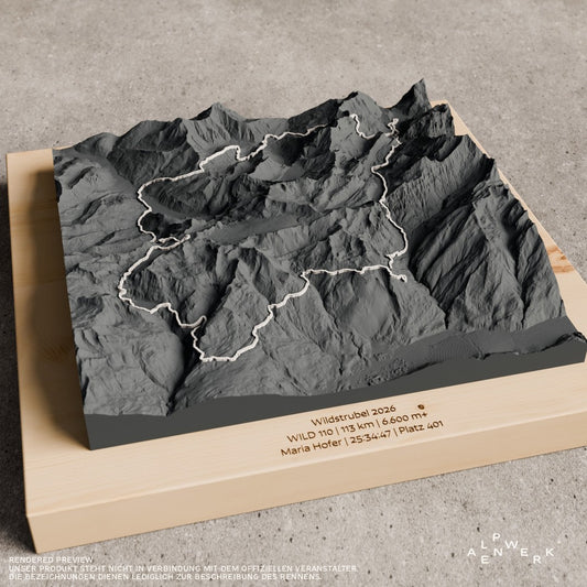
TrailMap | Wildstrubel | 2026
通常価格 $226.00 CADから通常価格単価 あたり -
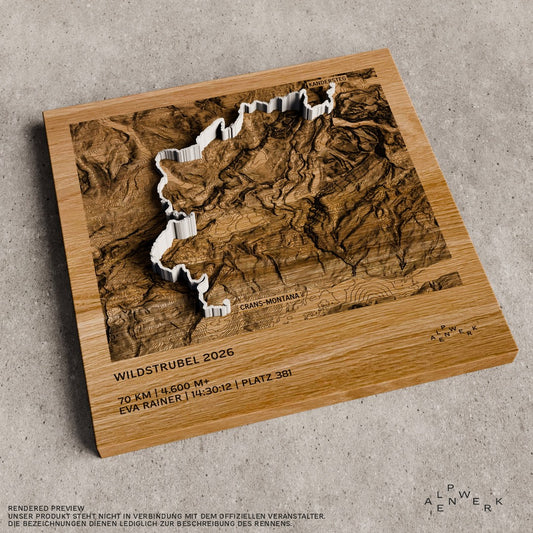
Mountain Model Track | Wildstrubel | 2026
通常価格 $200.00 CADから通常価格単価 あたり -
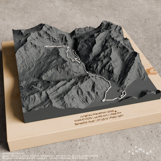
Mountain Model Track | Jungfrau-Marathon | 2026
通常価格 $200.00 CADから通常価格単価 あたり -
Mountain Model Track | Lauberhorn - Wengen - Abfahrt | Skirennen
通常価格 $156.00 CADから通常価格単価 あたり









Bernese Oberland and Bernese Alps
The Bernese Oberland is the part of the canton of Bern that lies in the Alps: the region around Lake Thun and Lake Brienz and the part of the canton south of it. Its valleys descend northward from the main ridge of the Bernese Alps and all drain into the Aare. The name goes back to the Canton of Oberland, which Napoleon created in 1798 with Thun as its capital. The Bernese Alps themselves extend across the cantons of Bern, Valais and Vaud to the Rhône valley and are heavily glaciated; on their south side, the Aletsch and Fiesch glaciers, the two longest ice streams in the Alps, flow down into Valais.
Eiger, Mönch, Jungfrau and Finsteraarhorn
The best known and most widely visible is the trio of Eiger, Mönch and Jungfrau. The Eiger (3,967 m) stands entirely on Bernese soil, between the municipalities of Lauterbrunnen and Grindelwald; it was first climbed on August 11, 1858 by the Grindelwald mountain guides Christian Almer and Peter Bohren with their client Charles Barrington. The border with Valais runs over the Mönch (4,110 m) and the Jungfrau (4,158 m). The highest summit of the Bernese Alps is the Finsteraarhorn at 4,274 m; since 2001 the Jungfrau has been part of the UNESCO World Natural Heritage Site Swiss Alps Jungfrau-Aletsch.
Lauterbrunnen Valley, Aletsch and the races
Because of its many waterfalls, the Lauterbrunnen Valley is also called the valley of 72 waterfalls; it inspired J. R. R. Tolkien's Rivendell in The Lord of the Rings. From Stechelberg to the summit of the Jungfrau, the difference in elevation is 3,239 m over a horizontal distance of only 4,630 m. The Great Aletsch Glacier on the southern side of the Bernese Alps is the longest glacier in the Alps at 22.6 km, and the Lötschental in Upper Valais is the largest northern side valley of the Rhône. Wengen has hosted the Lauberhorn races since 1930; at around 4.5 km, their downhill is the longest in the World Cup. The Jungfrau Marathon has been run in early September since 1993 and involves 1,953 meters of ascent, while the Eiger Ultratrail runs mainly on trails around Grindelwald.
Wildstrubel and Grimsel Pass
The Wildstrubel is a glaciated mountain group of the Bernese Alps between Lenk and Adelboden to the north and the Rhône valley to the south; the border between Bern and Valais runs over it, and its three summits of almost equal height reach up to 3,244 m. The Grimsel Pass (2,163 m) connects the Bernese Oberland with Upper Valais. In the valley village of Gletsch, the road to the Grimsel Pass branches off from the road over the Furka Pass (2,429 m).
Bernese Oberland and Bernese Alps as a ready-made relief
We offer the trio as a single-color Classic relief (Eiger, Jungfrau, Mönch), as well as the Lauterbrunnen Valley, Aletsch and Brig and the Lötschental. Track reliefs with a raised line are available for the Lauberhorn downhill in Wengen, the pass route Furka Pass and Grimsel Pass, the Wildstrubel 2026 and the races Jungfrau Marathon 2026 and Eiger Ultratrail 2026.
Design your own area in the Bernese Oberland
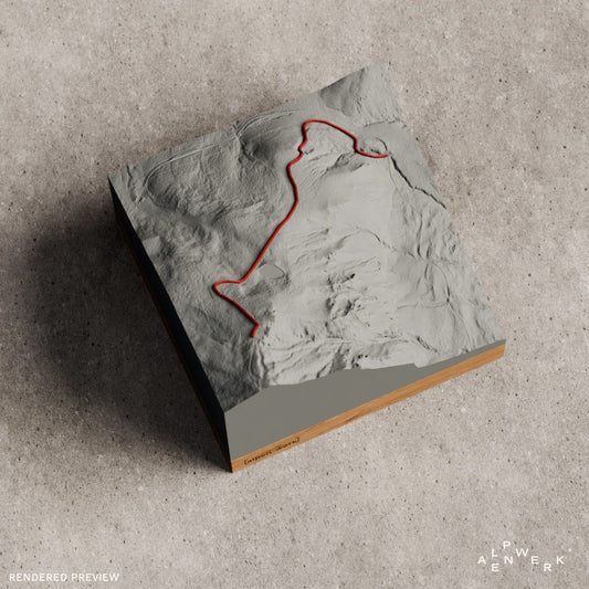
Grindelwald and the Eiger North Face, Lake Brienz or the Finsteraarhorn: you choose your own area in the live 3D configurator. Upload your ski tour, your race or the hike to the Kleine Scheidegg as a GPX file and get it as a Track relief with a raised line. Each piece is made by hand in the Bavarian Alps, and the base is oak or stone pine.
Gift ideas from the Bernese Oberland
The trio suits mountaineers and anyone who has vacationed in Grindelwald or Wengen, the race reliefs suit finishers of the Jungfrau Marathon and the Eiger Ultratrail, and the Lauberhorn downhill suits ski fans. An engraving records the finish time or the date. If the route is still open, the gift card is a good choice.
Are Eiger, Mönch and Jungfrau available as a 3D relief?
Yes, the trio is available as a single-color Relief Classic, as are the Lauterbrunnen Valley, Aletsch and Brig, and the Lötschental. As Track with a raised line there are also the Lauberhorn downhill, the Furka and Grimsel passes, the Wildstrubel and races such as the Jungfrau Marathon and the Eiger Ultratrail.
Can I choose Grindelwald or Lake Brienz as my own area?
Yes. In the live 3D configurator you search for Grindelwald, Lake Brienz or the Finsteraarhorn by name and move the area freely. Before you order, the preview shows the relief from all sides, and it is made in the Bavarian Alps.
Can my ski tour in the Bernese Oberland go on the relief?
Yes, in the custom Relief Track. You upload the GPX file or add a link from Strava, Komoot or Garmin. The route is modeled as a raised 3D line in red or white, not printed on. You can also send the track by email after ordering.
More collections
The Matterhorn and Monte Rosa are in the Valais Alps collection. Furka and Grimsel are listed with more pass roads under Alpine passes, running routes under gifts for trail runners and all route reliefs under Relief Track.
Your own area?
Design any summit and any tour yourself, live in 3D.