


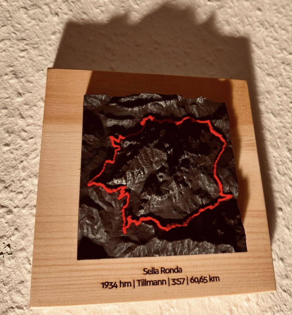
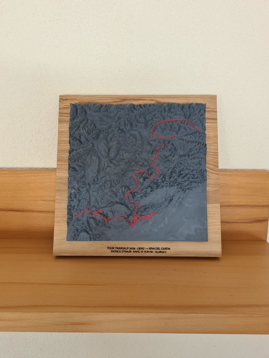
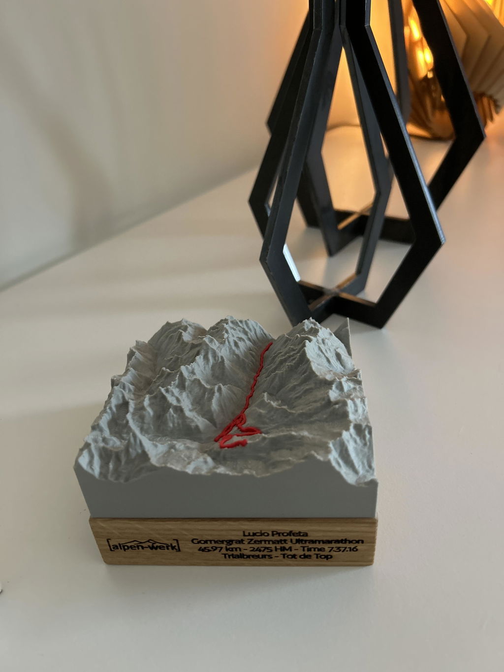
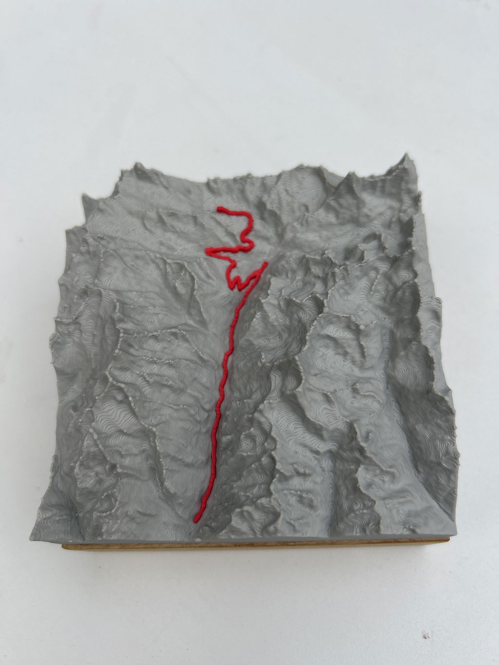
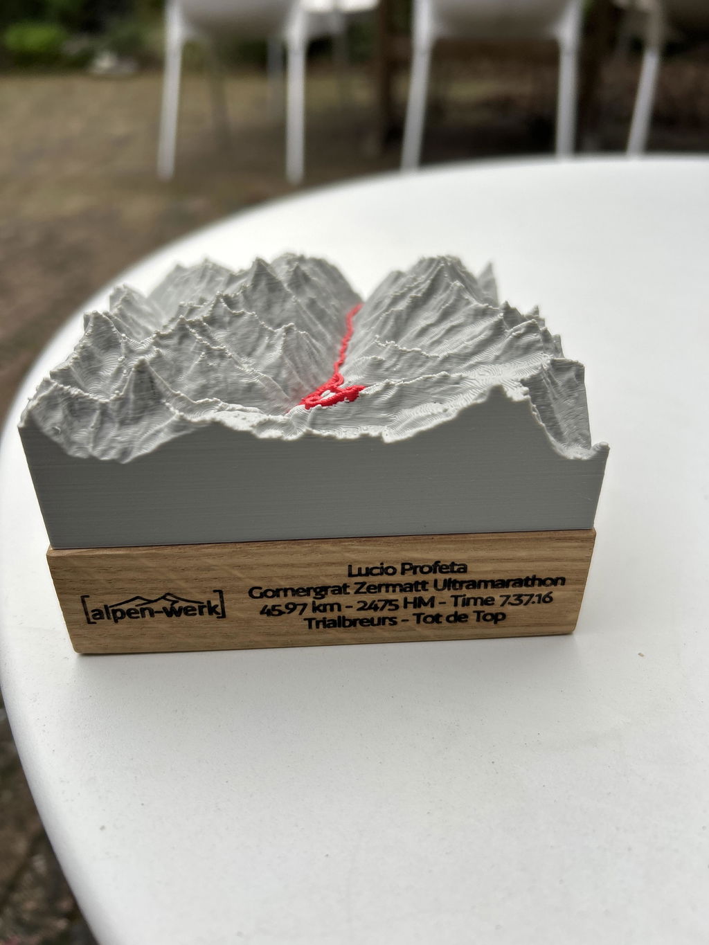
Your route as a raised 3D line on the mountain model, accurate to the millimeter from LiDAR elevation data, mounted by hand on solid wood.
Relief Track Watzmannüberschreitung
Ton moment au sommet, à portée de main pour toujours.
À l’échelle à côté du format A4, sélectionné : . Prices: Base · Oak.
The track line is modeled as a raised line at a constant height above the terrain.
Up to 3 lines · engraved in dark brown.
Chaque relief est une pièce unique faite à la main, fabriquée exactement selon tes souhaits. Et si quelque chose ne va pas, nous trouvons une solution, promis.
47.6646° N · 12.6463° E · Workshop in the Bavarian Alps
Un doute sur la taille ou la zone ? Écris-nous. Nous t’aidons personnellement.
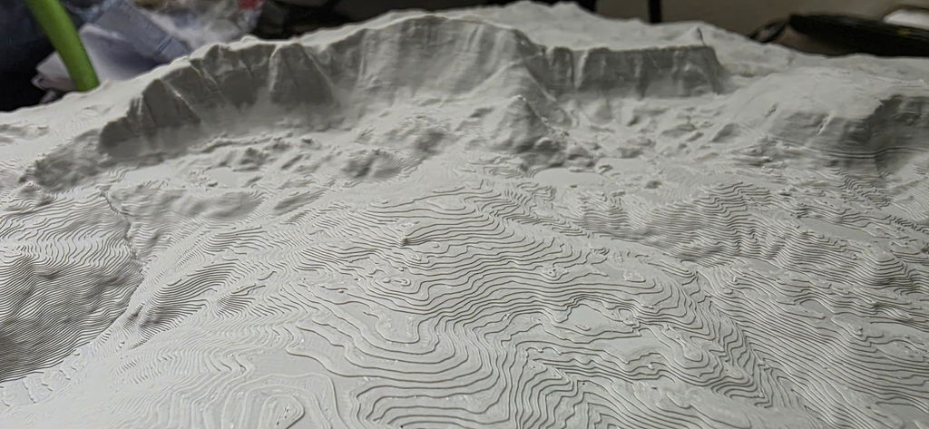
Watzmannüberschreitung en carte en relief

Gravure : nom, date, coordonnées.
Up to three lines, permanently laser-engraved. We check your text by hand first.
Add engraving right here →When will your model arrive?
Droits de douane et taxes d’importation inclus pour les États-Unis, le Royaume-Uni, la Suisse, le Liechtenstein, la Norvège, Andorre, l’Australie et la Nouvelle-Zélande.
What you get.
Your route
The course of your route as a raised 3D line, taken exactly from your GPX track.
Solid wood
Oak (PEFC) or stone pine (FSC + PEFC), oiled by hand.
Fair production
Production 3 to 8 business days, shipping 1 to 7 business days, customs duties and import taxes included for the US, UK, Switzerland, Liechtenstein, Norway, Andorra, Australia and New Zealand.
Single-color model
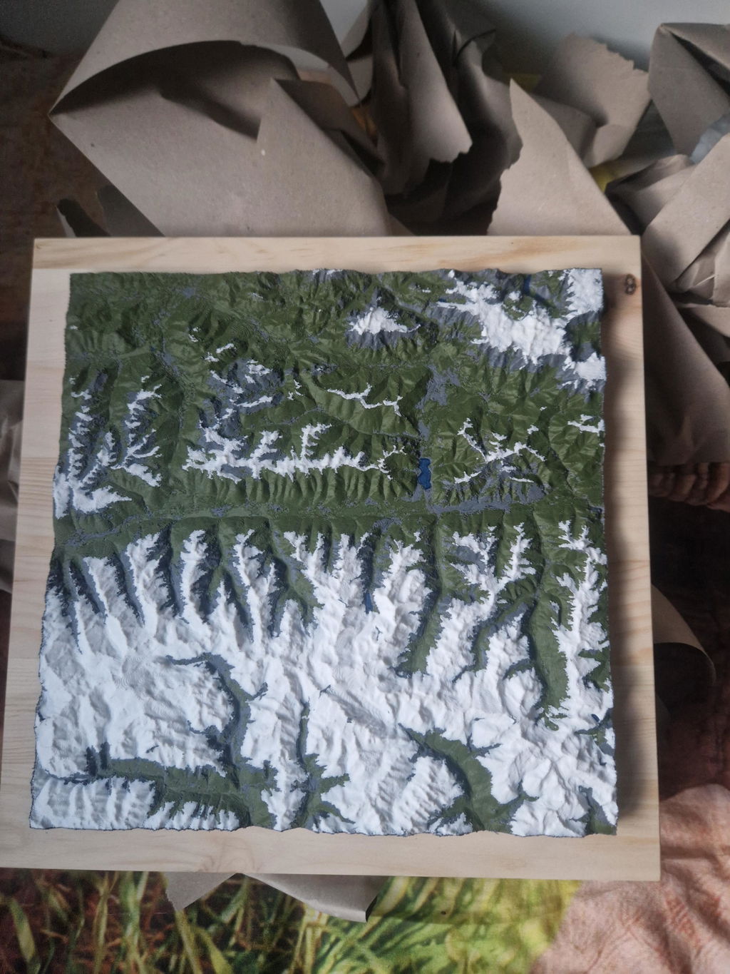
A calm, single-color print that lets your route stand out clearly.
Caractéristiques techniques.
- Production
- 3D printed, hand-mounted · Bavarian Alps
- Elevation data
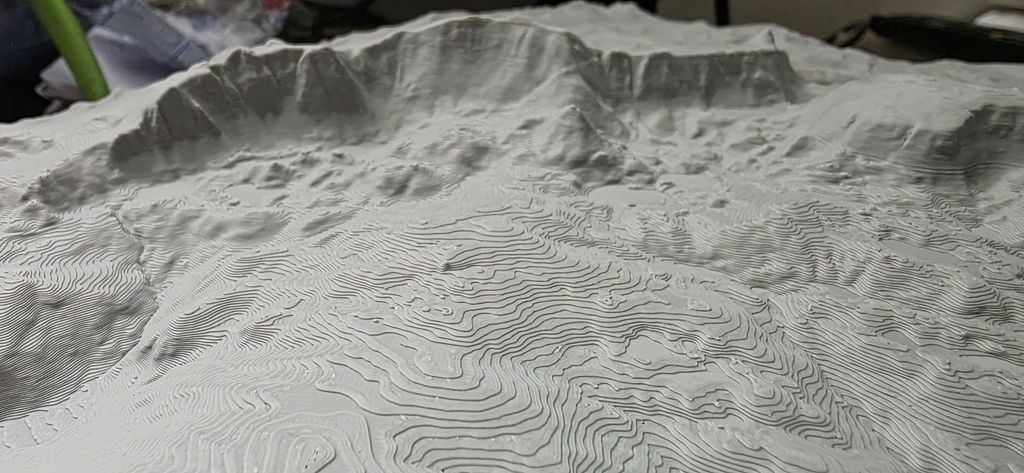
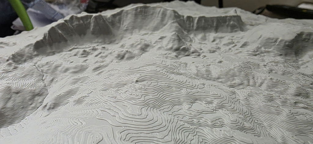
- LiDAR elevation data from the official state surveying offices, measured by laser, accurate to 0.5 m
- Precision
- More precise than models made from freely available elevation data
- Wood base
- Solid wood, oak (PEFC) or stone pine (FSC + PEFC)
Your route, at home.
“The print is super precise, every detail is visible, in the landscape as well as on the track.”
Hannah R. · Track“Perfect as a keepsake gift. Just as high quality as the memory itself.”
Thomas B. · Track · Stilfser Joch“Great product, our son was thrilled when we gave it to him after the 100km Donautrail; beautifully crafted”
Reinhold K. · TrackAbout this mountain model
Traversée du Watzmann dans les Alpes de Berchtesgaden (Bavière) : ce relief de montagne montre la région en carte en relief 3D sur un socle en bois massif.
La traversée du Watzmann
Le premier jour monte par des gradins d'alpages jusqu'à la Watzmannhaus (1928 m). Le deuxième jour suit l'arête du Watzmann, Hocheck, Mittelspitze, Südspitze, très haut au-dessus de la face est, puis descend dans le Wimbachgries. Alpin, passages d'escalade jusqu'à UIAA II.
Les sommets de l'arête du Watzmann
Hocheck (2651 m), Mittelspitze (2713 m, point culminant), Südspitze (2712 m) ; au nord Watzmannfrau (2307 m) et Watzmannkinder, tout autour le parc national de Berchtesgaden.
Relief Traversée du Watzmann : données
- Track : l'itinéraire en ligne colorée et en relief sur le relief
- Base de données : données d'altitude LiDAR pour les Alpes de Berchtesgaden
- Relief : impression 3D en PLA, polymère biosourcé issu en grande partie de matières premières renouvelables
- Socle : bois massif, au choix chêne huilé ou pin cembro non huilé
- Tailles : 10x10, 15x15, 20x20, 25x25 et 28x28 cm
- Version : Base à poser ou Wall à accrocher ; prix selon la taille, la version et le bois
- Fabrication : fait main en Bavière, logo alpen-werk gravé dans le socle, gravure personnalisée en option
Traversée du Watzmann en cadeau
Sur le relief de montagne, on peut suivre l'arête du Hocheck à la Südspitze par la Mittelspitze mètre par mètre, avec la descente dans le Wimbachgries. Cela parle à tous ceux qui ont fait la traversée, qui la préparent ou qui aiment simplement garder le Watzmann sous les yeux.
Questions & answers.
01What does this model show?
The standard map area around the route as a single-color 3D model, with the course of the route as a raised 3D line. Want a different area or your own route? You can choose both freely in the configurator.
02What does LiDAR mean, and why does it make your model so accurate?
LiDAR is airborne laser surveying: an aircraft scans the terrain with millions of laser points, and the official state surveying offices turn them into an elevation model with a resolution of up to 0.5 m. This is exactly the data your model is based on, which is why every ridge, every gully and every summit sits exactly where it really is. Freely available satellite elevation data only resolves to 30 m, which is 60 times coarser. On top of that, we prepare every dataset for 3D printing in a dedicated quality step: cleaned, smoothed, with sharp rock edges and without digital artifacts.
03Base or Wall: which suits me?
Base stands on its own, with the wood base flush with the model. Wall has a larger wood base, looks like a framed picture and comes with a hanging eyelet.
04How long does delivery take?
Production 3 to 8 business days, shipping 1 to 7 business days. For the US, UK, Switzerland, Liechtenstein, Norway, Andorra, Australia and New Zealand, customs duties and import taxes are included (DDP).
05What if something isn't right?
Every model is made to order (no right of withdrawal under §312g of the German Civil Code). If something isn't right, we will find a solution. That's a promise.
Design your own Track model.
Upload your GPX track, see it live in 3D and turn it into a real object. Anywhere in the world.