


TrailMap Rennsteiglauf | 2025
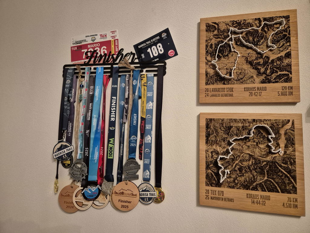
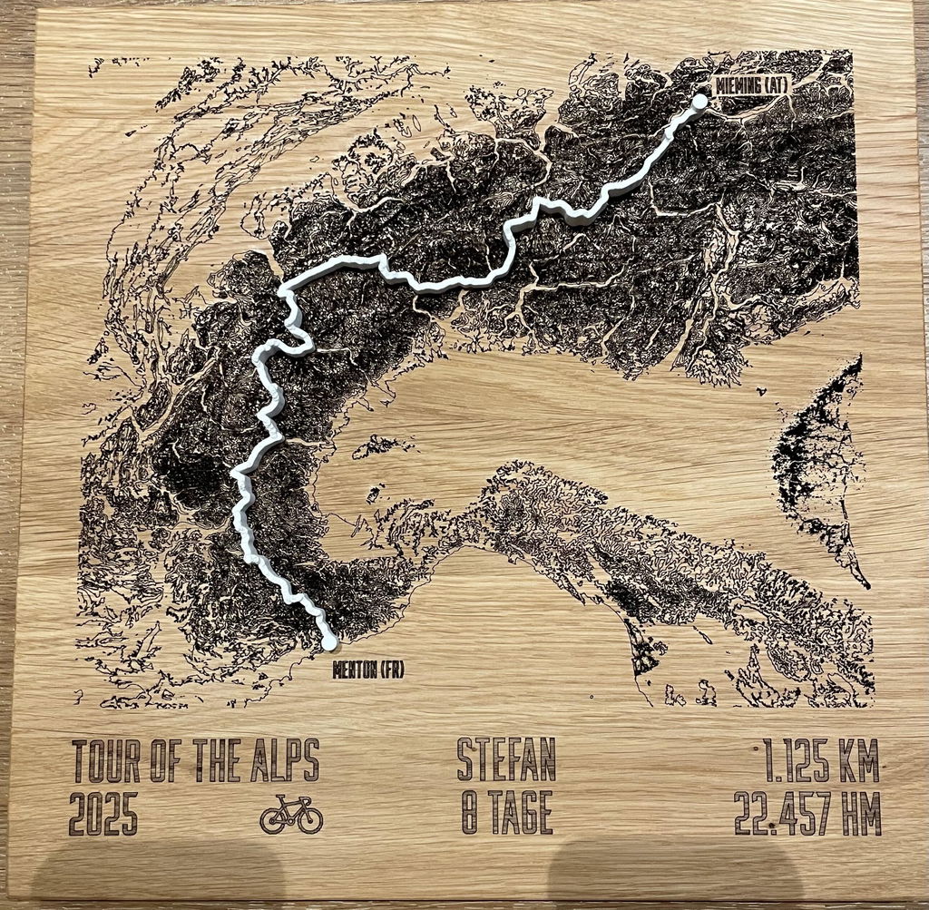
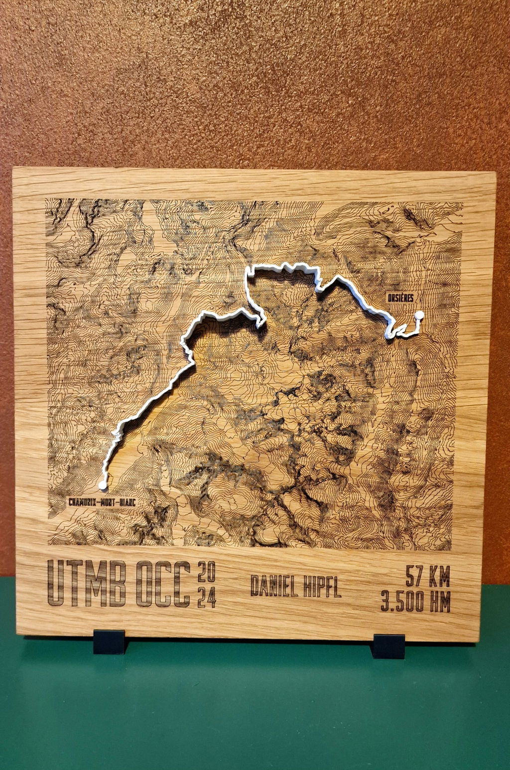
Solid oak with laser-engraved contour lines, your route as a raised line in the color of your choice on top, checkpoint names on request. Cartography for the wall.
Configure your TrailMap
Jouw topmoment, voor altijd tastbaar.
30cm x 30cm
Op schaal naast A4, gekozen: . 30 × 30 cm oak, larger than an A4 sheet, approx. 2 cm thick. Version: engraved contour lines.
White stands out with the most contrast on the oiled oak.
Deine Gravur
Wird 1:1 so graviert, wie Du es hier einträgst.
Elke TrailMap is een handgemaakt uniek stuk, precies naar jouw wensen gegraveerd. En als er toch iets niet klopt, vinden we een oplossing, beloofd.
47.6646° N · 12.6463° E · Workshop in the Bavarian Alps
Twijfel over formaat of uitsnede? Schrijf ons. We helpen je persoonlijk.
When will your TrailMap arrive?
Douanerechten en invoerbelastingen inbegrepen voor de VS, het VK, Zwitserland, Liechtenstein, Noorwegen, Andorra, Australië en Nieuw-Zeeland.
What you get.
Engraved and raised
The contour lines are laser-engraved into the oiled oak, and the route sits on top as a raised line in the color of your choice: flatter and more cartographic than Mountain Model Track.
Accurate to the millimeter
Exact LiDAR elevation data from the state surveying offices, measured by laser, accurate to 0.5 m.
Checkpoints & names
Place names along the route and finisher engraving, typical for event editions.
Solid oak
30 × 30 cm, oiled, PEFC, with a hanger for the wall.
Planning an event edition?
Finisher trophies with event badge, checkpoint engraving and serial numbering, volume discount from 10 pieces, logo engraving and branding included.
About this TrailMap
Rennsteiglauf 2025, de 52e GutsMuths-Rennsteiglauf door het Thüringer Wald met finish in Schmiedefeld am Rennsteig. Deze TrailMap toont de route als hoogtelijnenkaart, lasergegraveerd in massief eiken, met het routeverloop als verheven 3D-lijn erbovenop.
Van Eisenach naar Schmiedefeld am Rennsteig
Op 17 mei 2025 begon de supermarathon op de marktplaats van Eisenach. Na de klim over de Obere Beerberg was de Inselsberg bereikt, bij de Ebertswiese was de helft van de route gehaald. Via de Grenzadler bij Oberhof ging het naar de klim op Plänckners Aussicht, met 973 meter het hoogste punt van de route, net onder de Große Beerberg, de hoogste top van het Thüringer Wald. Vandaar gaat het pad bijna alleen nog bergafwaarts naar Schmiedefeld am Rennsteig.
De routes 2025
- Supermarathon: 73,9 km, van Eisenach naar Schmiedefeld am Rennsteig
- Marathon: van Neuhaus am Rennweg naar Schmiedefeld am Rennsteig
- Halve marathon: van Oberhof naar Schmiedefeld am Rennsteig
Wat er op de kaart staat
De hoogtelijnen komen uit exacte LiDAR-hoogtegegevens en zijn in het eikenhouten paneel gegraveerd, daarbij start- en finishplaats, bij de supermarathon Eisenach en Schmiedefeld am Rennsteig. Het verloop van jouw route ligt als 3D-geprinte lijn erbovenop. Onder de kaart worden route, lengte en hoogtemeters gegraveerd, daarbij jouw naam, jouw tijd en jouw klassering. Formaat 30 x 30 cm, track in wit, lichtgrijs, antraciet of zwart.
Voor finishers en hun teams
Eisenach, Inselsberg, Ebertswiese en Schmiedefeld: de TrailMap legt jouw Rennsteiglauf vast met naam en tijd. Een cadeau voor finishers en voor de familie die bij de finish heeft staan wachten.
alpen-werk heeft geen banden met de officiële organisator.
Questions & answers.
01What is the difference to Mountain Model Track?
Mountain Model Track models your tour as a raised 3D line on the printed model. The TrailMap engraves the contour lines flat into solid oak and places your route on top as a raised line in the color of your choice: a cartographic look, ideal for events and checkpoint names.
02What does LiDAR mean, and why does it make your model so accurate?
LiDAR is airborne laser surveying: an aircraft scans the terrain with millions of laser points, and the official state surveying offices turn them into an elevation model with a resolution of up to 0.5 m. This is exactly the data your model is based on, which is why every ridge, every gully and every summit sits exactly where it really is. Freely available satellite elevation data only resolves to 30 m, which is 60 times coarser. On top of that, we prepare every dataset for 3D printing in a dedicated quality step: cleaned, smoothed, with sharp rock edges and without digital artifacts.
03Which routes work?
Any GPX route, from a trail run to a Transalp to your home loop. A Komoot link, your Strava login or a GPX file you upload yourself is all it takes.
04What can be engraved?
Route, contour lines, checkpoint names along the route, finisher name and time, and for event editions also the organizer's logo as a single-color engraving.
05How long does delivery take?
Standard: 3 to 8 business days production plus shipping 1 to 7 business days. Express: 2 to 4 business days plus express shipping 1 to 2 business days. For the US, UK, Switzerland, Liechtenstein, Norway, Andorra, Australia and New Zealand, customs duties and import taxes are included (DDP).
06Is there a volume discount for events?
Yes, from 10 pieces, with logo engraving and custom branding included. Commission models for clubs are possible too. Get in touch via the B2B inquiry.
07What if something isn't right?
Every TrailMap is made to order (no right of withdrawal under §312g of the German Civil Code). If something isn't right, we will find a solution. That's a promise.
Technical data.
- Line
- TrailMap · engraved oak, raised route
- Format
- 30 × 30 cm · Fixed price
- Version
- Engraved contour lines + route
- Track colors
- White · Light gray · Anthracite · Black
- Material
- Solid oak, oiled (PEFC)
- Mounting
- Hanger for the wall
- Elevation data
- LiDAR elevation data from the official state surveying offices, measured by laser, accurate to 0.5 m
- Precision
- More precise than models made from freely available elevation data