


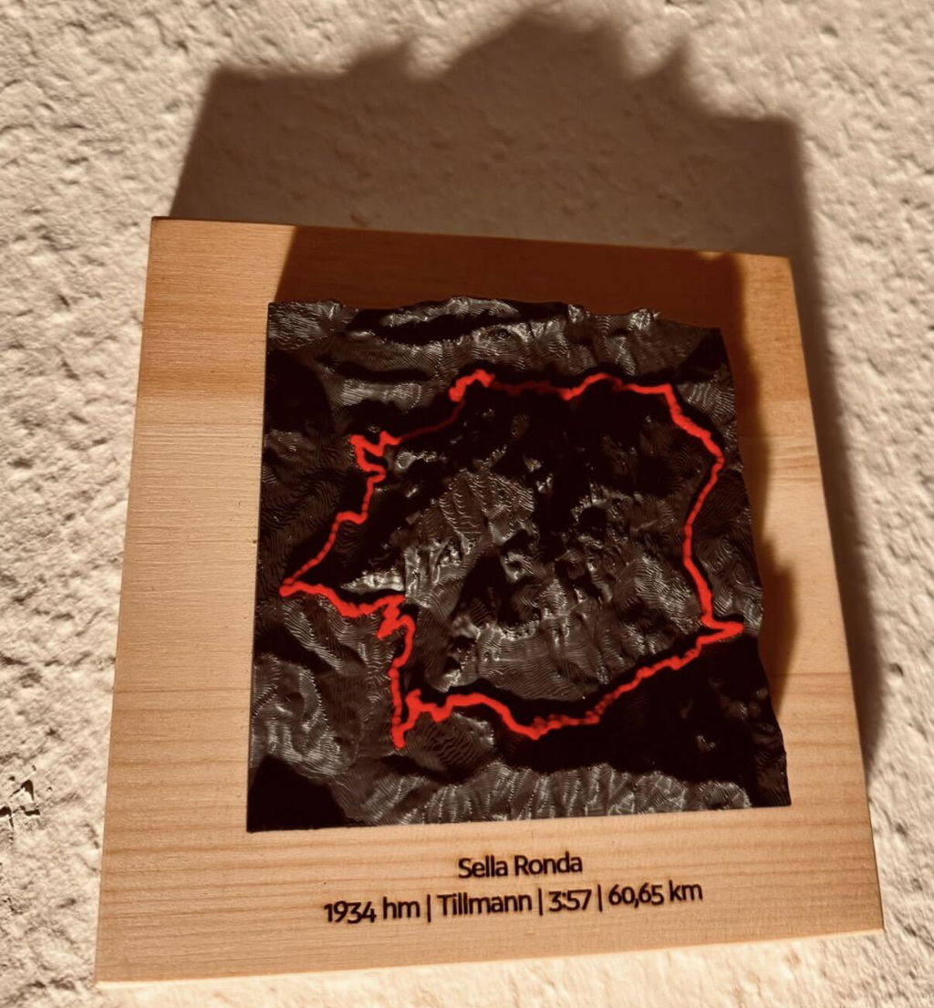
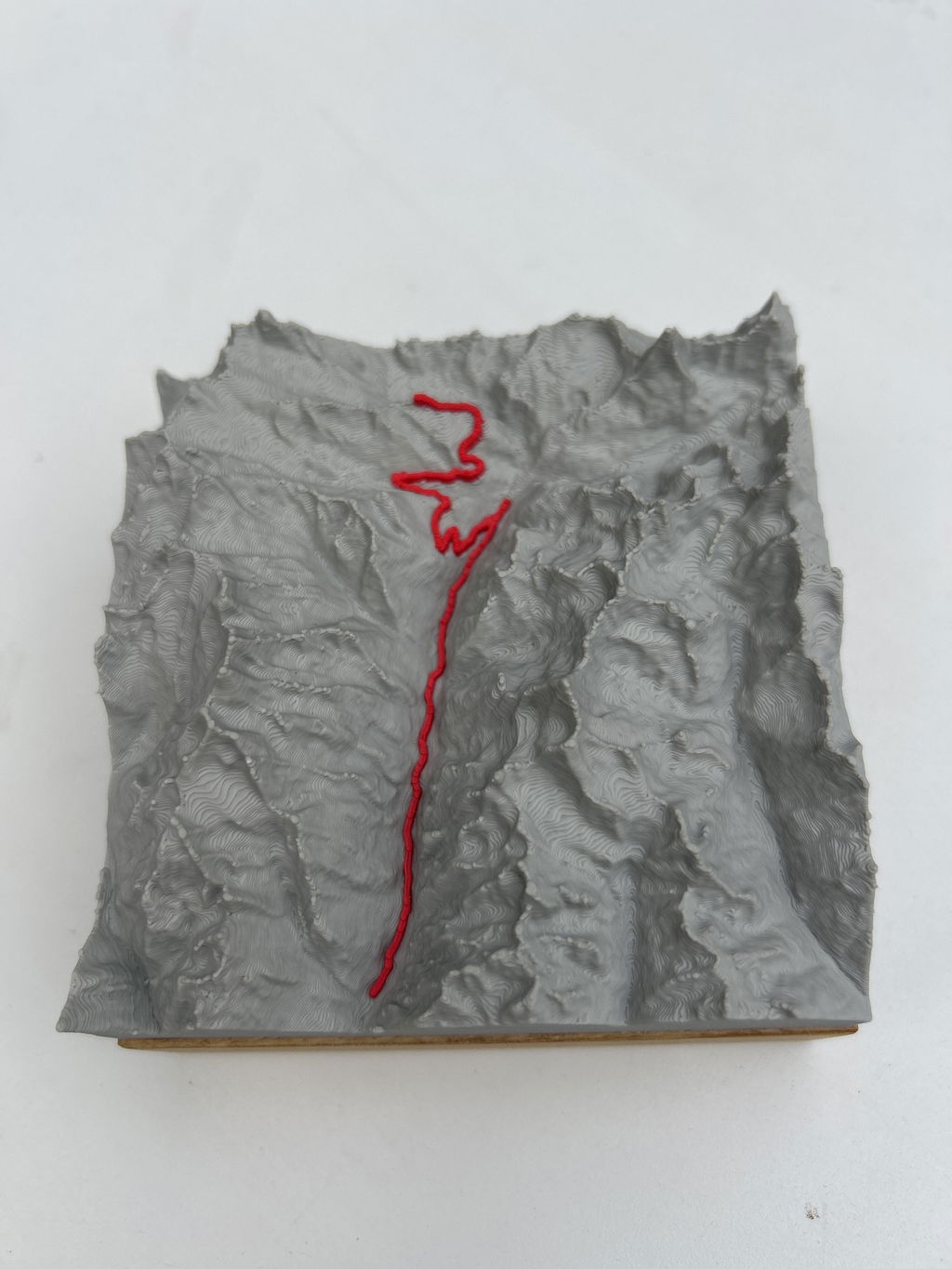
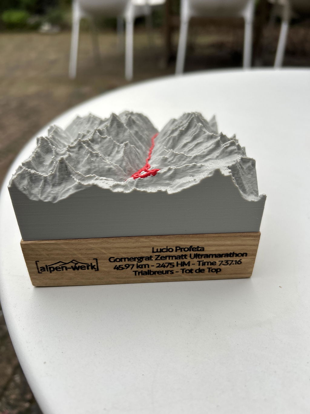
Your route as a raised 3D line on the mountain model, accurate to the millimeter from LiDAR elevation data, mounted by hand on solid wood.
Bergreliëf Track Monte Rosa-ronde · Spaghetti Tour
Jouw topmoment, voor altijd tastbaar.
Op schaal naast A4, gekozen: . Prices: Base · Oak.
The track line is modeled as a raised line at a constant height above the terrain.
Up to 3 lines · engraved in dark brown.
Elk reliëf is een handgemaakt uniek stuk, precies naar jouw wensen gemaakt. En als er toch iets niet klopt, vinden we een oplossing, beloofd.
47.6646° N · 12.6463° E · Workshop in the Bavarian Alps
Twijfel over formaat of uitsnede? Schrijf ons. We helpen je persoonlijk.
Monte Rosa-ronde als reliëfkaart

Gravure: naam, datum, coördinaten.
Up to three lines, permanently laser-engraved. We check your text by hand first.
Add engraving right here →When will your model arrive?
Douanerechten en invoerbelastingen inbegrepen voor de VS, het VK, Zwitserland, Liechtenstein, Noorwegen, Andorra, Australië en Nieuw-Zeeland.
What you get.
Your route
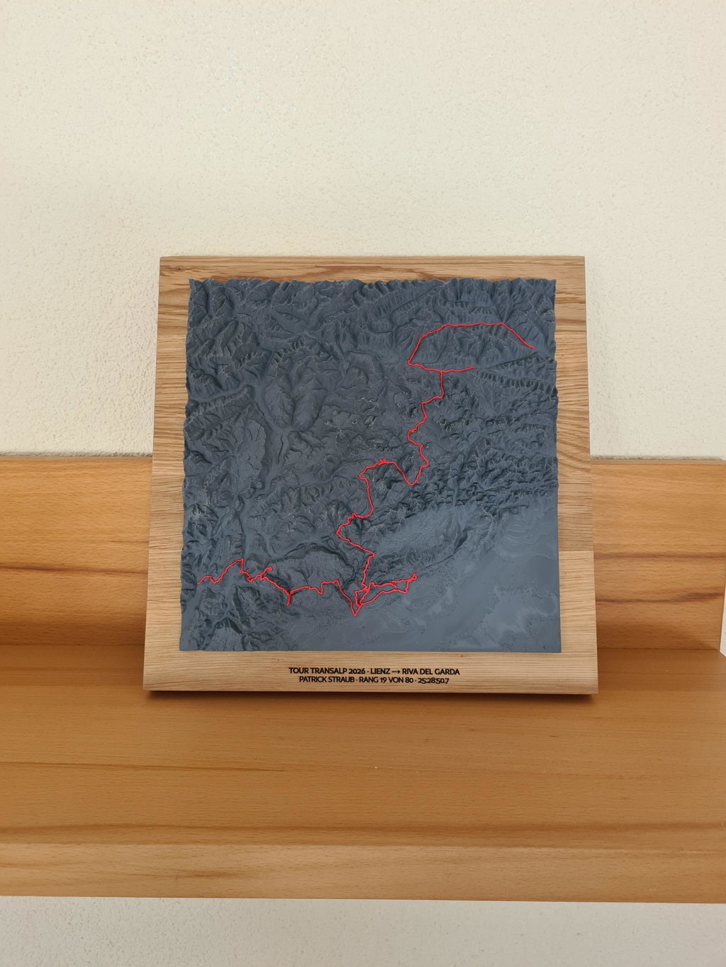
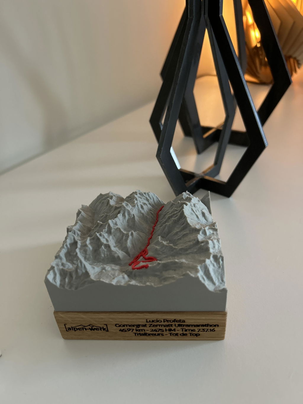
The course of your route as a raised 3D line, taken exactly from your GPX track.
Solid wood
Oak (PEFC) or stone pine (FSC + PEFC), oiled by hand.
Fair production
Production 3 to 8 business days, shipping 1 to 7 business days, customs duties and import taxes included for the US, UK, Switzerland, Liechtenstein, Norway, Andorra, Australia and New Zealand.
Single-color model
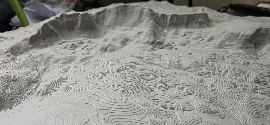
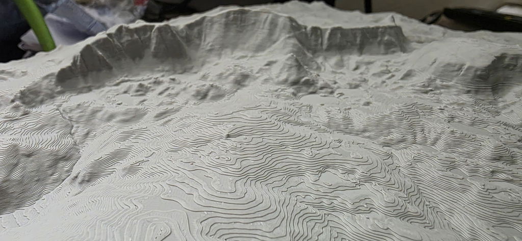
A calm, single-color print that lets your route stand out clearly.
Technische gegevens.
- Production
- 3D printed, hand-mounted · Bavarian Alps
- Elevation data
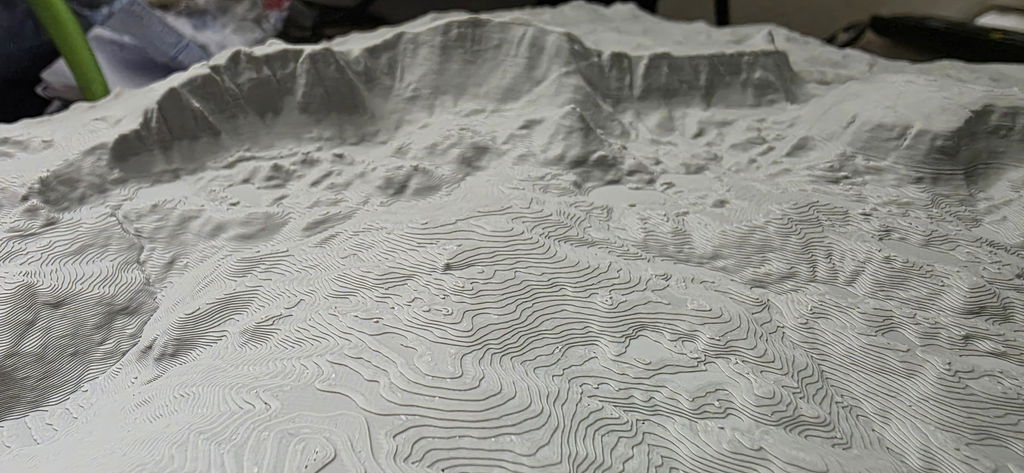
- LiDAR elevation data from the official state surveying offices, measured by laser, accurate to 0.5 m
- Precision
- More precise than models made from freely available elevation data
- Wood base
- Solid wood, oak (PEFC) or stone pine (FSC + PEFC)
Your route, at home.
“The print is super precise, every detail is visible, in the landscape as well as on the track.”
Hannah R. · Track“Perfect as a keepsake gift. Just as high quality as the memory itself.”
Thomas B. · Track · Stilfser Joch“Great product, our son was thrilled when we gave it to him after the 100km Donautrail; beautifully crafted”
Reinhold K. · TrackAbout this mountain model
Spaghetti-Tour in het Monte Rosa-massief (Walliser Alpen, Zwitserland/Italië): dit bergreliëf toont de route als verheven, gekleurde lijn op een sokkel van massief echt hout.
De Spaghetti-Tour in het Monte Rosa-massief
De ronde trekt in meerdere dagen over de gletsjers van de Monte Rosa, klassiek vanaf Zermatt over de Klein Matterhorn. Er wordt Italiaans overnacht: Rifugio Quintino Sella, Capanna Gnifetti, Margheritahütte op de Signalkuppe, de hoogste berghut van de Alpen. Vandaar de naam.
Toppen rond de Spaghetti-Tour
Rond de route staan de Dufourspitze (4634 m), de Nordend (4608 m), de Signalkuppe (4554 m), de oostelijke top van de Liskamm (4527 m) en de Breithorn (4164 m), daartussen de Felikjoch.
Reliëf Spaghetti-Tour: gegevens
- Track: de route als gekleurde, verheven lijn in het reliëf
- Gegevensbasis: uiterst nauwkeurige LiDAR-hoogtegegevens voor het Monte Rosa-massief, op de millimeter nauwkeurig
- Reliëf: 3D-print van PLA, biogebaseerd polymeer dat overwegend uit hernieuwbare grondstoffen bestaat
- Sokkel: massief echt hout, naar keuze eiken geolied of alpenden ongeolied
- Formaten: 10x10, 15x15, 20x20, 25x25 en 28x28 cm
- Uitvoering: Base om neer te zetten of Wall om op te hangen; prijs afhankelijk van formaat, uitvoering en houtsoort
- Productie: handgemaakt in Beieren, alpen-werk logo in de sokkel gegraveerd, optioneel met persoonlijke gravure
Spaghetti-Tour als cadeau
Wie de huttenronde over de gletsjers van de Monte Rosa zelf heeft gelopen, herkent op het bergreliëf elke etappe, wie ze nog voor zich heeft, heeft het doel al in beeld. Formaat, uitvoering en houtsoort bepaal je zelf.
Questions & answers.
01What does this model show?
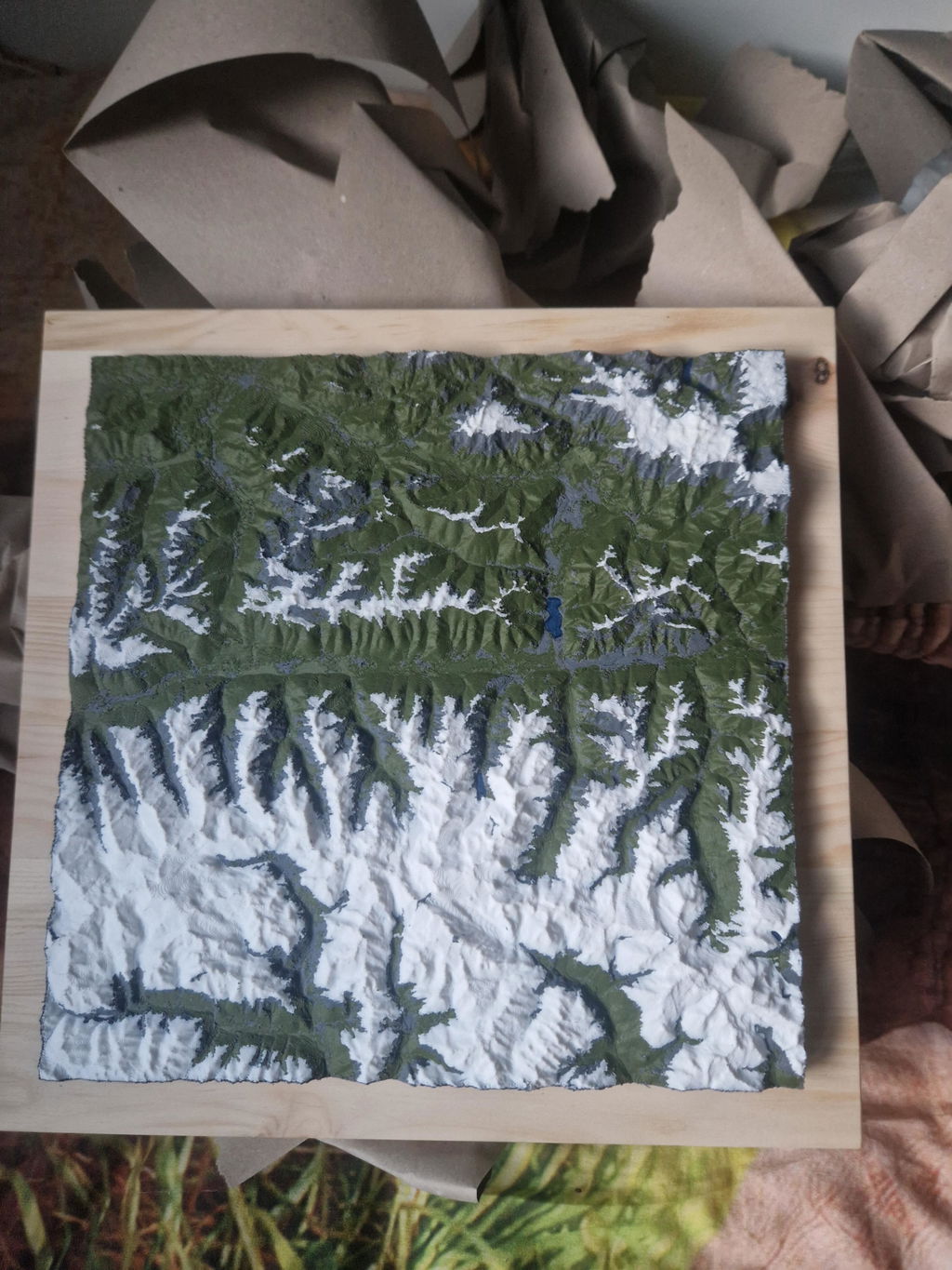
The standard map area around the route as a single-color 3D model, with the course of the route as a raised 3D line. Want a different area or your own route? You can choose both freely in the configurator.
02What does LiDAR mean, and why does it make your model so accurate?
LiDAR is airborne laser surveying: an aircraft scans the terrain with millions of laser points, and the official state surveying offices turn them into an elevation model with a resolution of up to 0.5 m. This is exactly the data your model is based on, which is why every ridge, every gully and every summit sits exactly where it really is. Freely available satellite elevation data only resolves to 30 m, which is 60 times coarser. On top of that, we prepare every dataset for 3D printing in a dedicated quality step: cleaned, smoothed, with sharp rock edges and without digital artifacts.
03Base or Wall: which suits me?
Base stands on its own, with the wood base flush with the model. Wall has a larger wood base, looks like a framed picture and comes with a hanging eyelet.
04How long does delivery take?
Production 3 to 8 business days, shipping 1 to 7 business days. For the US, UK, Switzerland, Liechtenstein, Norway, Andorra, Australia and New Zealand, customs duties and import taxes are included (DDP).
05What if something isn't right?
Every model is made to order (no right of withdrawal under §312g of the German Civil Code). If something isn't right, we will find a solution. That's a promise.
Design your own Track model.
Upload your GPX track, see it live in 3D and turn it into a real object. Anywhere in the world.