


Mountain Model Track Alps Crossing | Tegernsee - Sterzing
Your route as a raised 3D line on the mountain model, accurate to the millimeter from LiDAR elevation data, mounted by hand on solid wood.
Build your model
Your summit moment, forever in your hands.
True to scale next to an A4 sheet, selected: . Prices: Base · Oak.
The track line is modeled as a raised line at a constant height above the terrain.
Up to 3 lines · engraved in dark brown.
Every mountain model is a handmade one-of-a-kind piece, made exactly as you want it. And if something still isn't right, we'll find a solution. That's a promise.
47.6646° N · 12.6463° E · Workshop in the Bavarian Alps
Not sure about the size or map area? Write to us. We'll help you personally.

Engraving: name, date, coordinates.
Up to three lines, permanently laser-engraved. We check your text by hand first.
Add engraving right here →When will your model arrive?
Duties and import taxes included for the US, UK, Switzerland, Liechtenstein, Norway, Andorra, Australia and New Zealand.
What you get.
Your route
The course of your route as a raised 3D line, taken exactly from your GPX track.
Solid wood
Oak (PEFC) or stone pine (FSC + PEFC), oiled by hand.
Fair production
Production 3 to 8 business days, shipping 1 to 7 business days, customs duties and import taxes included for the US, UK, Switzerland, Liechtenstein, Norway, Andorra, Australia and New Zealand.
Single-color model
A calm, single-color print that lets your route stand out clearly.
Technische Daten.
- Production
- 3D printed, hand-mounted · Bavarian Alps
- Elevation data
- LiDAR elevation data from the official state surveying offices, measured by laser, accurate to 0.5 m
- Precision
- More precise than models made from freely available elevation data
- Wood base
- Solid wood, oak (PEFC) or stone pine (FSC + PEFC)
Your route, at home.
“The print is super precise, every detail is visible, in the landscape as well as on the track.”
Hannah R. · Track“Perfect as a keepsake gift. Just as high quality as the memory itself.”
Thomas B. · Track · Stilfser Joch“Great product, our son was thrilled when we gave it to him after the 100km Donautrail; beautifully crafted”
Reinhold K. · TrackAbout this mountain model
Alps crossing from Tegernsee to Sterzing through Bavaria, Tyrol and South Tyrol: the mountain model shows the region as a 3D terrain map on a solid wood base.
The Tegernsee to Sterzing Alps Crossing
Seven stages lead from Gmund on the Tegernsee to Sterzing. The opening stage follows the Tegernseer Höhenweg, with the rowing ferry from Tegernsee to Rottach-Egern and on to Wildbad Kreuth. Over the Blauberge the second stage reaches the Achensee in Tyrol, the third follows its west shore via Pertisau to Maurach. Via Hochfügen and the Sidanjoch it continues to Mayrhofen in the Zillertal. On the sixth day the main Alpine ridge is crossed: from the Schlegeis reservoir through the Zamser Grund to the Pfitscher Joch and down into the South Tyrolean Pfitscher Tal. The last stage runs through the valley to Sterzing, the northernmost town in Italy. The trails are easy to moderate.
Passes and peaks between Tegernsee and Sterzing
The Blauberge form the border between Bavaria and Tyrol, the highest summit is the Halserspitze (1863 m); on the south side of the Blauberge lies the Blaubergalm (1552 m). In the Tux Alps follow the Sidanjoch (2127 m) and the nearby Rastkogelhütte (2117 m). Over the Pfitscher Joch (2246 m) the border between Italy and Austria has run since 1920, and slightly above it stands the Pfitscher Joch Haus (2276 m).
Mountain Model Track Alps Crossing Tegernsee to Sterzing: data
- Track: the route as a colored, raised line on the model
- Data source: high-precision LiDAR elevation data for the Alps between Tegernsee and Sterzing, accurate to the millimeter
- Mountain model: 3D print in PLA, a bio-based polymer made mostly from renewable raw materials
- Base: solid wood, oiled, choice of oak or Swiss stone pine
- Sizes: 15x15, 20x20, 25x25 and 28x28 cm
- Version: Base to stand on a shelf or table, or Wall for hanging; price depends on size, version and wood
- Manufacturing: handmade in Bavaria, alpen-werk logo engraved in the base, optional custom engraving
Alps crossing Tegernsee Sterzing as a gift
Before setting off in Gmund or after arriving in Sterzing: a gift for hikers on the way over the Blauberge, Achensee and Pfitscher Joch.
Super Qualität und eine schöne Erinnerung. Es war meine erste Bestellung aber bestimmt nicht die letzte .
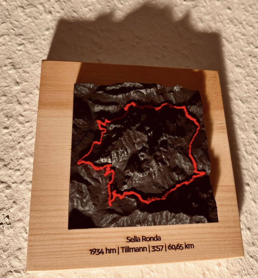
My custom mountain model is absolutely beautiful. It's my favorite place and now I can look at it at any time, without having to stay away in the winter, when the roads up there are closed. The model is very well-built and sturdy. Shipping was surprisingly fast...faster than domestic shipping.
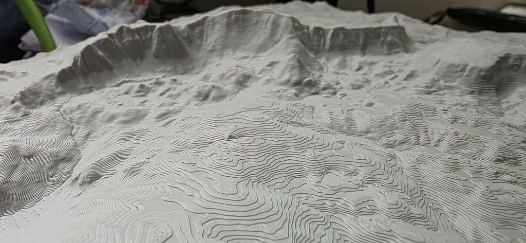
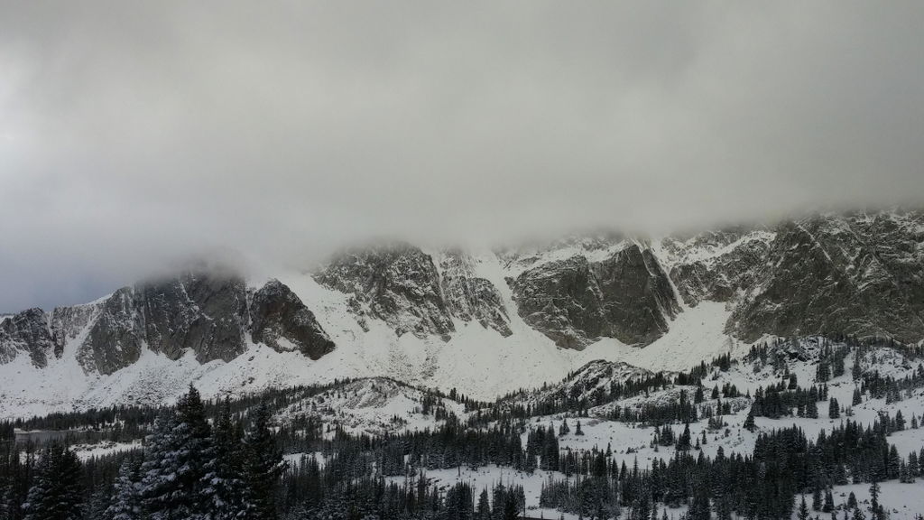
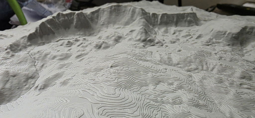
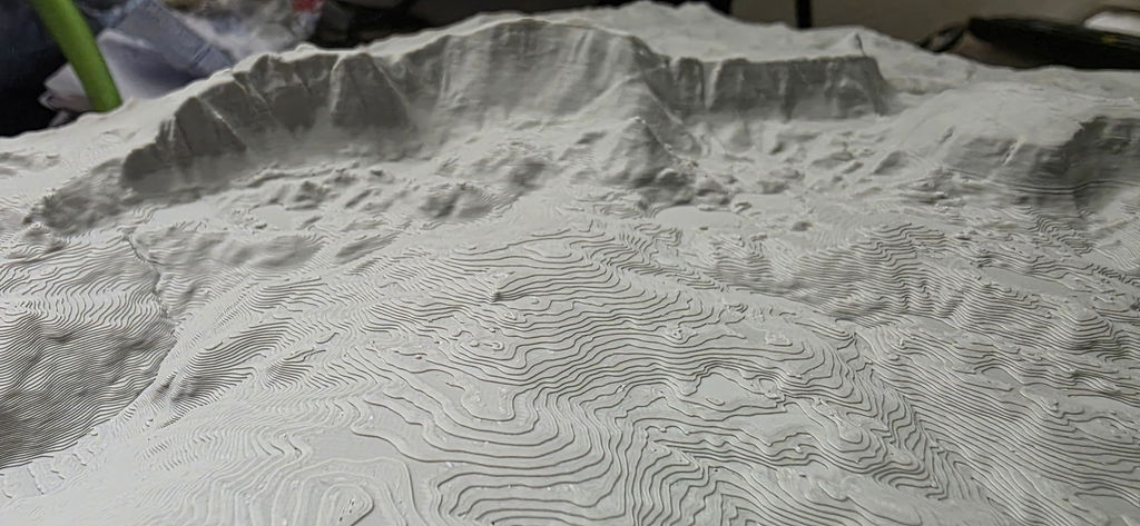
Die Berge passen perfekt, so wie ich mir es vorgestellt habe. Vielen dank! Mfg Maschik Marlon
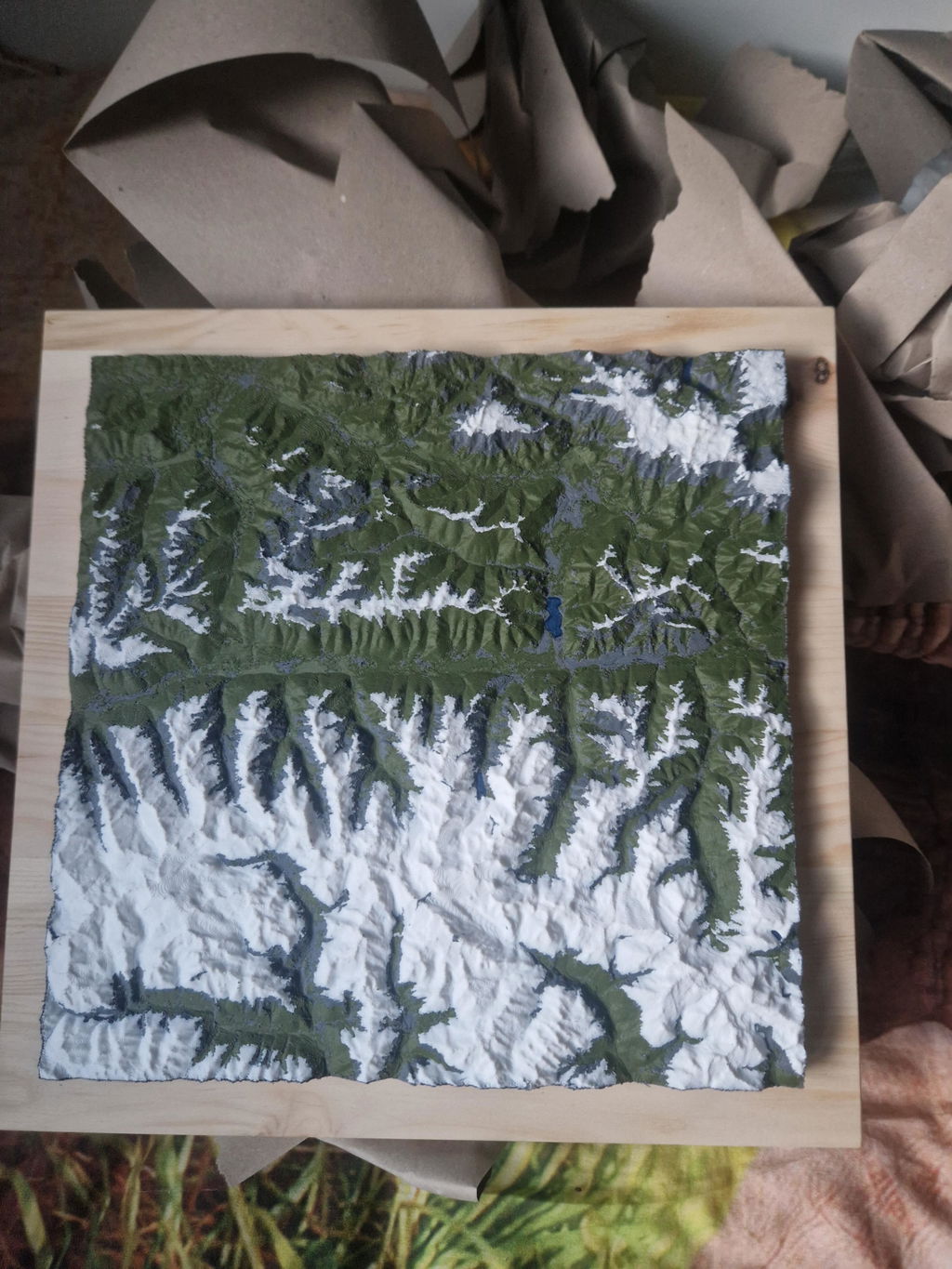
Ich schreibe nicht oft Bewertungen, aber diesmal kann ich einfach nicht anders. Denn ich bin wirklich absolut begeistert vom Relief!!!
Wirklich sehr schön und toll gemacht und so habe ich ein wundervolles Andenken an meine Tour. Ebenfalls unkomplizierte und sichere Lieferung.
Absolut empfehlenswert 👍
Herzlichen Dank 🙏
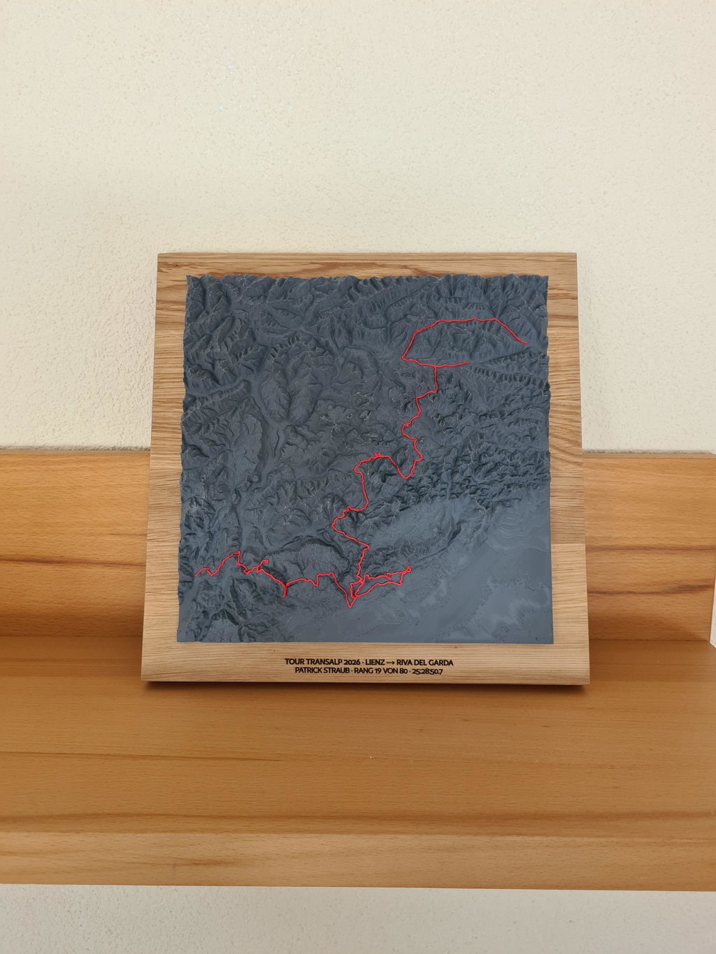
Zum Geburtstag meines Bruders habe ich eine Karte unseres Ultramarathons Gornergrat Zermatt anfertigen lassen. Das Ergebnis ist fantastisch! Ich erkenne sogar die Wanderung am Materhorn wieder 🏔️. Super Qualität. Ziemlich teuer, aber die Qualität rechtfertigt den Preis.
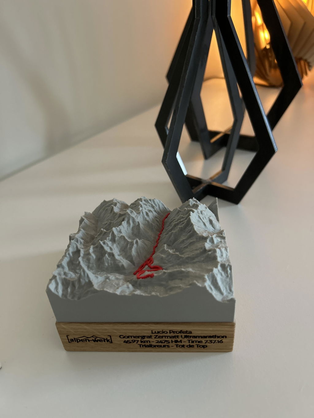
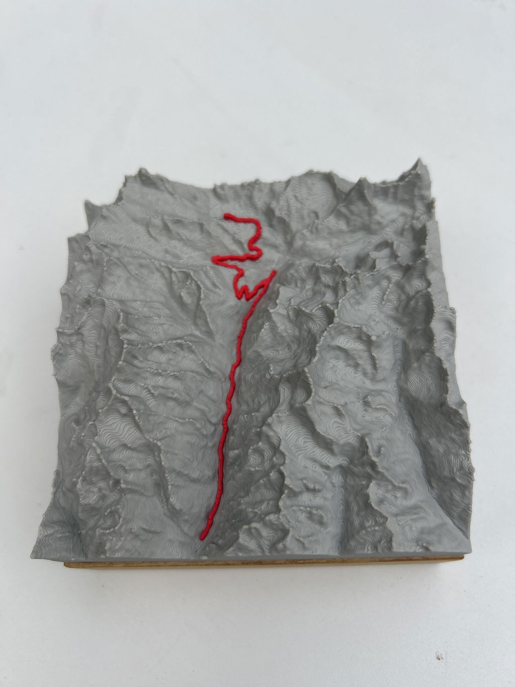
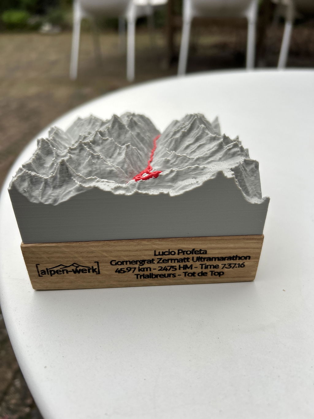
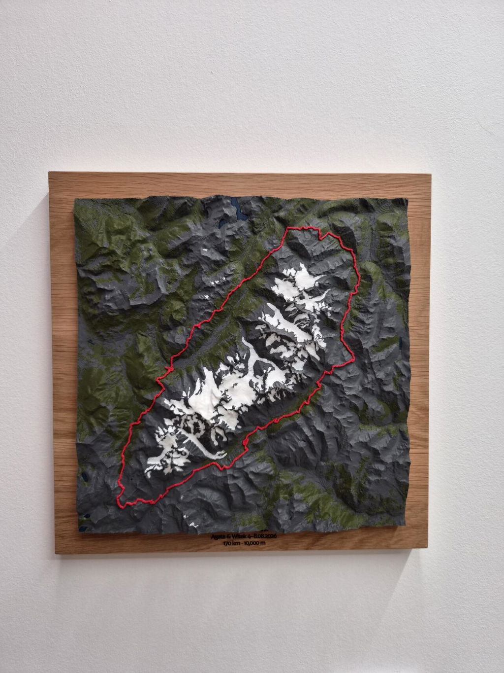
The relief is a great souvenir from our trip. The glaciers contrast nicely with the rest of the terrain, while the green areas blend in more gently. The marked route of our hike stands out very clearly. The lakes are easy to identify. My only slight regret is that the rivers are not shown — admittedly they are not large features, and at this scale rendering them would probably be difficult anyway. Recommended!
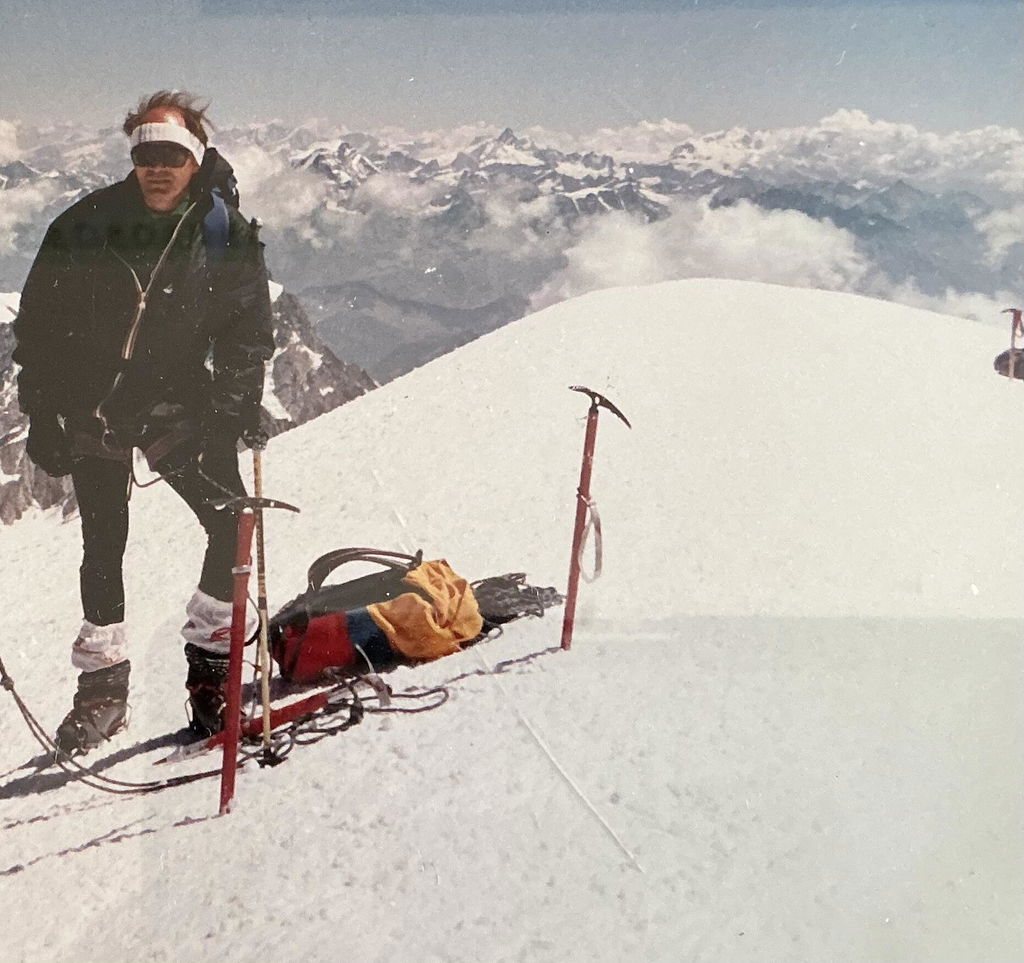
Parfait pour me rappeler mon ascension du mont Blanc par la voie aiguille du Midi, Mont-Blanc du Tacul, mont maudit , puis sommet
Du champignon comme disent les guides de Chamonix.
Retour par l’arrête des bosses , le refuge VALLOT le plan de l’aiguille et Chamonix.
Merveilleux souvenir🥹🥹🥹
Tolles Relief mit individueller Gravur. 👌🏼
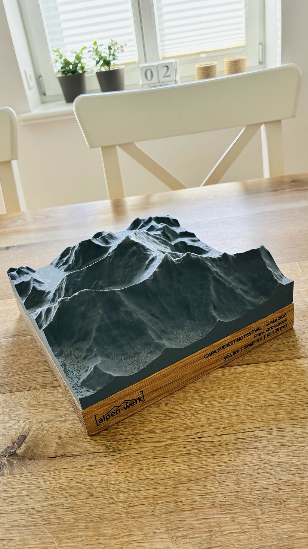
Nice piece of art!

Best souvenir of Switzerland I could ever find ! A tangible reminder of my childhood in the mountains.

An absolutely stunning model of ‘our’ Blenio valley in Ticino, Switzerland. Totally accurate, well made and amazing to look at.

It's well made, the printed area is exactly as the 3D preview


Very fine product with very detailed mountains in line with reality

Excellente expérience avec l’option Individuelle Lasergravur - Text. La gravure est précise, élégante et apporte une touche vraiment personnelle au produit. Le résultat est soigné et conforme à la description. Très belle qualité, je recommande !

Très satisfait de Relief Track | Individuell de Alpenwerk. Produit de grande qualité, parfaitement personnalisé et conforme à mes attentes. Service professionnel, réactif et soigné. Je recommande sans hésiter !


Super nettes Geschenk - tolle Qualität. Aufgrund der Möglichkeit, das Geschenk schneller zu erhalten kam es pünktlichst in unsere Hände und Herzen.
Mein Partner hat sofort erkannt, um welches Gebiet es sich handelt - was dann nur für sich sprechen kann.
Danke.

To celebrate one of the best weeks of cycling I've done to date, I uploaded my rides to the website and created a lasting memory. Absolutely love it.

Gyorsan és precízen legyártott termék. Odafigyelnek a különleges kérésekre is és saját anyanyelvemen még kézzel írott levelet is kaptam a csomagban. Ez szerintem a maximális odafigyelés és a vásárlóközpontú hozzáállást tökeletesen tükrözi. Elégedett vagyok és az ajándékozott is nagyon örült, neki is nagyon tetszett az ajándék. Köszönöm a csapatnak az odaadó munkát.

I love it! The model picks up the features of the 4000 m summit of Maunakea just as I experience them. It really helps me orient the positions of different cinder cones. I was able to paint in the two small lakes that I have been studying.
très content de la finition et du service. 5 avec un petit bémol : nous aurions aimé que les lacs soient colorisés ainsi que le village.
Les glaciers sont bien marqués mais l'effet glacier est aussi rendu dans des zones qui n'en sont pas .le tracé GPX est un peu trop épais .merci c'est vraiment une belle réalisation que nous placerons au châlet


Hi Lionel, thanks for your feedback ! The last days we launched our new product 'Relief Natural' with realistic coloring, also with adjustable snow height. So for your next model everything is ready. Kind regards Stephan
Die Genauigkeit ist atemberaubend! Man kann die Touren in den Bergen im Detail und in3D nachverfolgen.

Questions & answers.
01What does this model show?
The standard map area around the route as a single-color 3D model, with the course of the route as a raised 3D line. Want a different area or your own route? You can choose both freely in the configurator.
02What does LiDAR mean, and why does it make your model so accurate?
LiDAR is airborne laser surveying: an aircraft scans the terrain with millions of laser points, and the official state surveying offices turn them into an elevation model with a resolution of up to 0.5 m. This is exactly the data your model is based on, which is why every ridge, every gully and every summit sits exactly where it really is. Freely available satellite elevation data only resolves to 30 m, which is 60 times coarser. On top of that, we prepare every dataset for 3D printing in a dedicated quality step: cleaned, smoothed, with sharp rock edges and without digital artifacts.
03Base or Wall: which suits me?
Base stands on its own, with the wood base flush with the model. Wall has a larger wood base, looks like a framed picture and comes with a hanging eyelet.
04How long does delivery take?
Production 3 to 8 business days, shipping 1 to 7 business days. For the US, UK, Switzerland, Liechtenstein, Norway, Andorra, Australia and New Zealand, customs duties and import taxes are included (DDP).
05What if something isn't right?
Every model is made to order (no right of withdrawal under §312g of the German Civil Code). If something isn't right, we will find a solution. That's a promise.
Design your own Track model.
Upload your GPX track, see it live in 3D and turn it into a real object. Anywhere in the world.