


France Terrain Map
Every size shows the whole map, the sheet grows with it. Standard A size, fits any standard frame.
This is how it appears on your print. We print exactly this text.
All 1,068 reviews
- In our shop807 of them from verified buyers4.9810
- Google4.9198
- Other platforms4.860
The map in detail
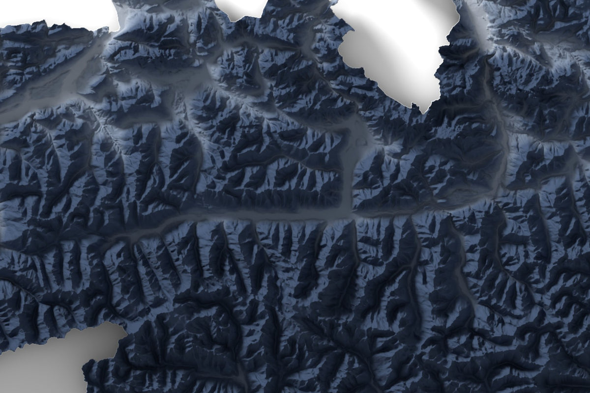
The terrain is computed from a digital elevation model and lit from the northwest, valleys light, heights dark, with a soft shadow beneath, as if a plate were floating above the paper. Printed as a fine art print in our workshop in the Bavarian Alps.
France as a terrain map
The whole area of the country, about 551,700 km², on one sheet, cut out along the border. Highest point: Mont Blanc, 4,807 m. On an A3 sheet, one centimeter equals about 58 km on the ground. The heights are exaggerated 8x so the terrain stands out on the sheet.
France Terrain Map: details
- Fine art print with pigment inks on 300 g/m² premium paper, acid- and lignin-free
- Sizes A4 (21 × 29.7 cm), A3 (29.7 × 42 cm), A2 (42 × 59.4 cm)
- Scale on A3 1:5,800,000
- Vertical exaggeration 8x
- Printed, checked and packed in our workshop in the Bavarian Alps
- Price depends on size
France as a gift
For the home, as a memento of a trip, or for anyone with roots there.
What you get.
Computed terrain
Every map is computed from the digital elevation model of the region. How much the heights are exaggerated is stated in the description.
The image is the print
The product image shows the sheet exactly as it is printed, with title and subtitle.
From the Bavarian Alps
Pigment printing, visual inspection and packing in our workshop in the Bavarian Alps, from print to parcel.
Your frame. Your space.
You receive the print in a standard A size, without a frame. Choose frame and mat freely to suit your room: a picture frame in your size takes the sheet.
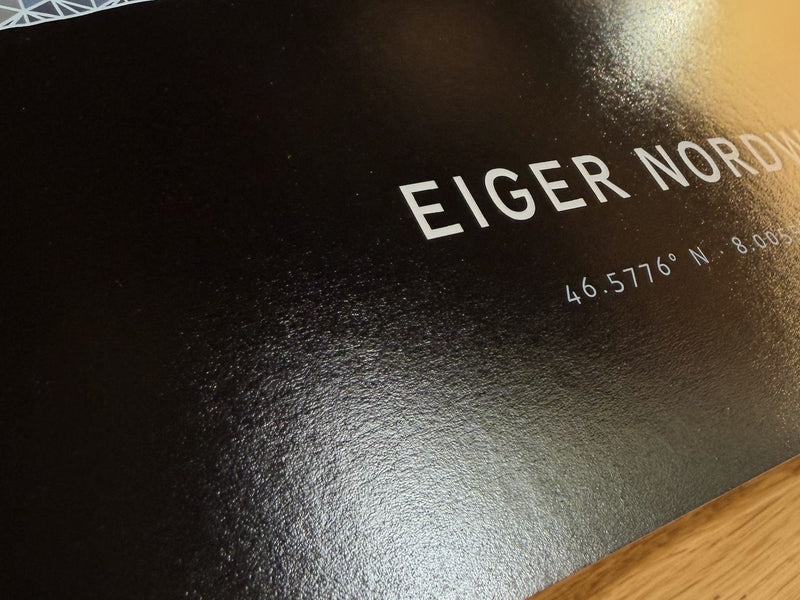
Your terrain map, printed like fine art photography.
Heavy premium paper, 300 g/m². Fotospeed Platinum Gloss Art Fibre from pure alpha cellulose, acid- and lignin-free. The subtle satin sheen keeps the shadows deep and the valleys bright.
Pigment inks in eleven colors, plus a clear coat for an even sheen: fine ridges stay sharp, the darks stay deep.
Flat in a sturdy box. We print, check and pack every sheet individually in our workshop in the Bavarian Alps and send it to you unrolled.
Fine art print, not a poster print.
How you can tell the difference on the sheet.
- Paper 300 g/m², alpha cellulosePoster print: often 120 to 200 g/m²
- Ink Pigment inks in eleven colorsPoster print: often not stated
- Printing one at a time, Bavarian AlpsPoster print: often print on demand
- Surface
- satin sheen, acid-free
- Image
- from an elevation model
- Shipping
- flat, in tissue paper
Real reviews. Real enthusiasm.
Over 1.068 reviews.
“My wishes were implemented 1:1. The quality is really great. That was not my last order!”
Nico K. · Classic“The print is super precise, every detail is visible, in the landscape as well as on the track.”
Hannah R. · Track“The model for our friend's 50th caused great excitement. It really is an absolutely unique gift!”
Alexandra K. · NaturalWhen leading magazines report.


Your mountain as a 3D model, too.
The same terrain as a 3D model: 3D printed and mounted on solid wood. Configured live in 3D.


All lines: Made in Germany · Live 3D preview · Express options available
Questions & answers.
01Which sizes are available?
A4 (21 × 29.7 cm), A3 (29.7 × 42 cm) and A2 (42 × 59.4 cm). Every size shows the whole map, the sheet grows with it.
02Does it come framed?
You receive the pure fine art print. That leaves you free to choose frame and mat to suit your room; a picture frame in your size takes the sheet. The room images in the gallery show examples.
03Why are the heights exaggerated?
Scaled down to the size of a sheet, even high mountains would barely show. That is why we exaggerate the heights, by a different amount for each region. The factor is stated in the description of every map.
04Which paper do you use?
Fotospeed Platinum Gloss Art Fibre at 300 g/m²: pure alpha cellulose, acid- and lignin-free, subtly satin with a fine texture. A premium paper as used in fine art photography.
05What is it printed with?
With pigment inks in eleven colors on a photo printer for fine art prints, plus a clear coat for an even sheen. Every sheet is made individually in our workshop in the Bavarian Alps.
06My region is missing. What now?
Write to us which region you are looking for. For your own area there is our fine art configurator with more motifs.
Terrain map as a fine art print
A terrain map from alpen-werk shows a whole region as shaded terrain: countries, states, islands, lakes and ski areas, computed from a digital elevation model and printed as a fine art print in the Bavarian Alps. Light from the northwest, valleys light, heights dark, with a soft shadow on the paper.
It is printed on 300 g/m² premium paper made of pure alpha cellulose, acid- and lignin-free, with pigment inks in eleven colors. Every sheet is printed and checked individually. When your map is ready to ship is shown right above the “Add to cart” button.
What is a terrain map?
A terrain map shows the landscape in three dimensions: heights cast shadows, valleys lie in the light. Our maps are vertically exaggerated so the terrain stays visible even at the scale of a whole country. The factor is stated in the description of every map.
What is a fine art print?
Fine art print means printing with pigment inks on heavy, acid-free paper instead of thin poster paper. For your terrain map we use 300 g/m² alpha cellulose paper. The difference to a typical poster print is shown above in the comparison.
Sizes and shipping
Every terrain map is available in A4, A3 and A2. It ships wrapped in tissue paper. When it is ready to ship is shown right above the “Add to cart” button.
Prefer a 3D model?
The same terrain is available as a 3D mountain model: Mountain Model Classic, colored true to nature as Natural or with your tour as Track.
The gift that stays.
Home, a move, a journey: as a print on the wall. Short on time? A gift card is the instant option.