


CarteSentier Ultratrail du Mont Blanc | 2025
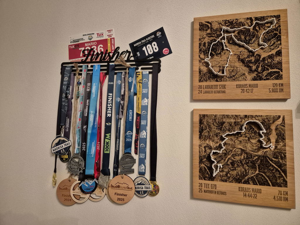
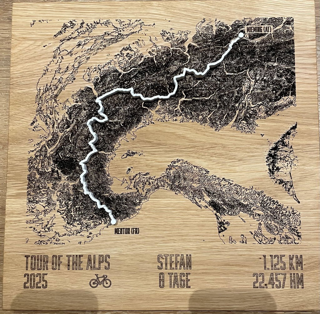
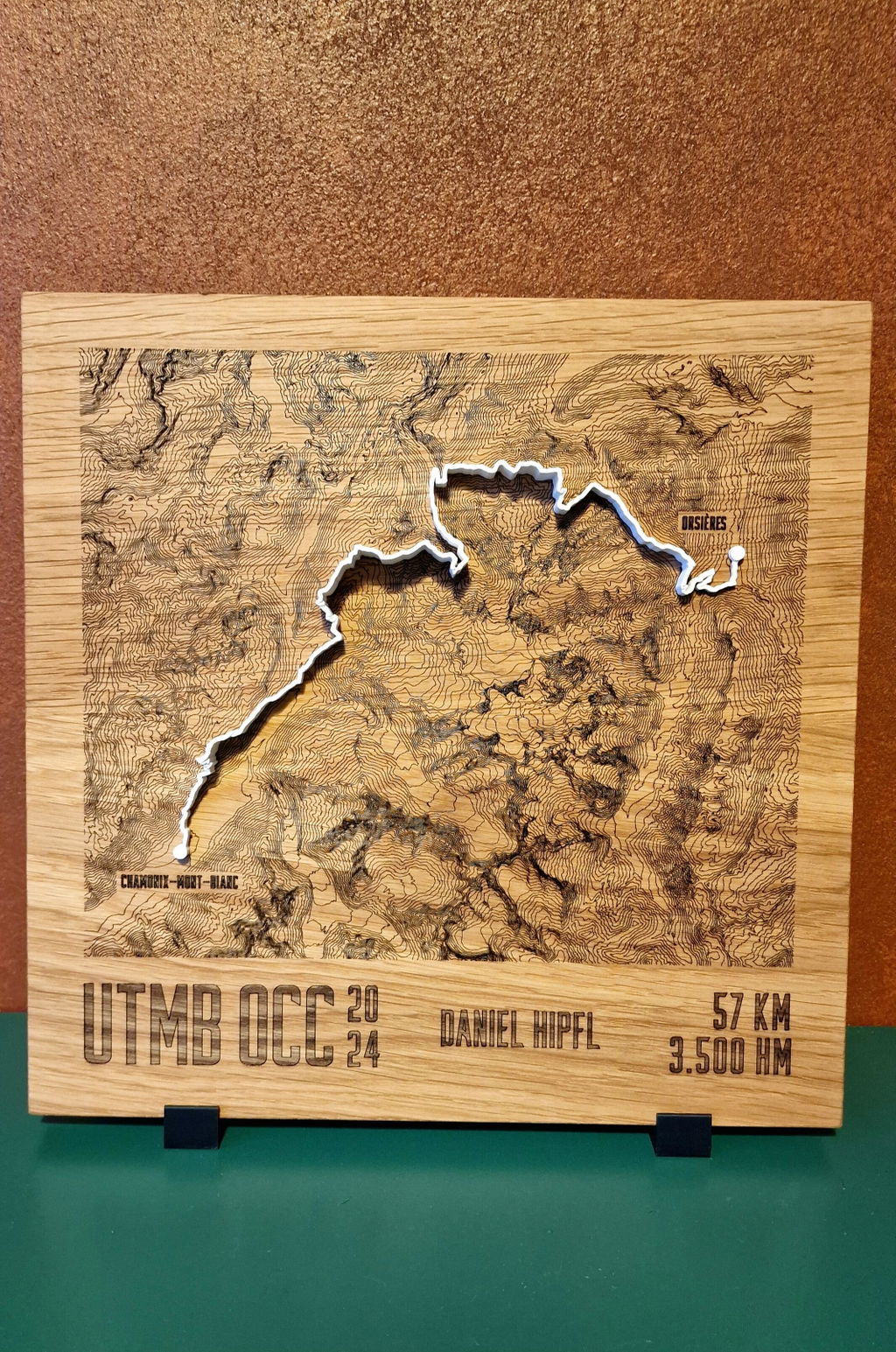
Solid oak with laser-engraved contour lines, your route as a raised line in the color of your choice on top, checkpoint names on request. Cartography for the wall.
Configure your TrailMap
Ton moment au sommet, à portée de main pour toujours.
30cm x 30cm
À l’échelle à côté du format A4, sélectionné : . 30 × 30 cm oak, larger than an A4 sheet, approx. 2 cm thick. Version: engraved contour lines.
White stands out with the most contrast on the oiled oak.
Deine Gravur
Wird 1:1 so graviert, wie Du es hier einträgst.
Chaque TrailMap est une pièce unique faite à la main, gravée exactement selon tes souhaits. Et si quelque chose ne va pas, nous trouvons une solution, promis.
47.6646° N · 12.6463° E · Workshop in the Bavarian Alps
Un doute sur la taille ou la zone ? Écris-nous. Nous t’aidons personnellement.
When will your TrailMap arrive?
Droits de douane et taxes d’importation inclus pour les États-Unis, le Royaume-Uni, la Suisse, le Liechtenstein, la Norvège, Andorre, l’Australie et la Nouvelle-Zélande.
What you get.
Engraved and raised
The contour lines are laser-engraved into the oiled oak, and the route sits on top as a raised line in the color of your choice: flatter and more cartographic than Mountain Model Track.
Accurate to the millimeter
Exact LiDAR elevation data from the state surveying offices, measured by laser, accurate to 0.5 m.
Checkpoints & names
Place names along the route and finisher engraving, typical for event editions.
Solid oak
30 × 30 cm, oiled, PEFC, with a hanger for the wall.
Planning an event edition?
Finisher trophies with event badge, checkpoint engraving and serial numbering, volume discount from 10 pieces, logo engraving and branding included.
About this TrailMap
Ultratrail du Mont Blanc 2025 à Chamonix, la semaine de course autour du Mont Blanc avec des parcours en France, en Italie et en Suisse. Cette TrailMap montre le parcours sous forme de carte à courbes de niveau, gravée au laser dans du chêne massif, avec le tracé en ligne 3D en relief par-dessus.
Par le col de la Seigne et le Grand Col Ferret
La grande boucle est partie de Chamonix en 2025 et a rejoint, via Saint-Gervais et Les Contamines-Montjoie, le refuge de la Croix du Bonhomme, puis le col de la Seigne à 2.511 mètres. Après Courmayeur, elle est montée par les refuges Bertone et Bonatti jusqu'au Grand Col Ferret, point de contrôle le plus haut de la boucle avec 2.537 mètres. Par La Fouly, Champex-Lac, Trient et Vallorcine, elle a gagné la Flégère avant de redescendre sur Chamonix. Le parcours CCC suit en grande partie ce même chemin à partir de Courmayeur, le parcours TDS part de Courmayeur à travers la Savoie. Le parcours OCC commence à Orsières, en Valais, le parcours MCC mène de la Suisse en France.
Les parcours 2025
- Parcours UTMB, 174 km : la grande boucle, départ et arrivée à Chamonix
- Parcours TDS, 153 km : de Courmayeur à Chamonix par Bourg-Saint-Maurice, le Cormet de Roselend, Beaufort et Les Contamines-Montjoie
- Parcours CCC, 101 km : de Courmayeur à Chamonix par le Grand Col Ferret et Champex-Lac
- Parcours OCC, 61 km : d'Orsières à Chamonix par Champex-Lac, Trient et le col de Balme
- Parcours MCC, 40 km : de Martigny-Combe à Chamonix par le col de la Forclaz et le col de Balme
- Parcours ETC, 15 km : boucle au départ de Courmayeur
Ce que montre la carte
Les courbes de niveau sont issues de données d'altitude LiDAR précises et gravées dans la plaque de chêne. Le parcours choisi y repose sous forme de ligne imprimée en 3D, en blanc, gris clair, anthracite ou noir. Sous la carte, ton nom, ton temps et ton classement sont gravés. Format 30 x 30 cm, fabriquée chez nous dans les Alpes bavaroises.
Pour les finishers et leurs équipes
Col de la Seigne, Grand Col Ferret, Chamonix : pour tous ceux qui ont terminé l'un de ces parcours en 2025, et pour ceux qui les ont accueillis à l'arrivée.
alpen-werk n'a aucun lien avec l'organisateur officiel.
Questions & answers.
01What is the difference to Mountain Model Track?
Mountain Model Track models your tour as a raised 3D line on the printed model. The TrailMap engraves the contour lines flat into solid oak and places your route on top as a raised line in the color of your choice: a cartographic look, ideal for events and checkpoint names.
02What does LiDAR mean, and why does it make your model so accurate?
LiDAR is airborne laser surveying: an aircraft scans the terrain with millions of laser points, and the official state surveying offices turn them into an elevation model with a resolution of up to 0.5 m. This is exactly the data your model is based on, which is why every ridge, every gully and every summit sits exactly where it really is. Freely available satellite elevation data only resolves to 30 m, which is 60 times coarser. On top of that, we prepare every dataset for 3D printing in a dedicated quality step: cleaned, smoothed, with sharp rock edges and without digital artifacts.
03Which routes work?
Any GPX route, from a trail run to a Transalp to your home loop. A Komoot link, your Strava login or a GPX file you upload yourself is all it takes.
04What can be engraved?
Route, contour lines, checkpoint names along the route, finisher name and time, and for event editions also the organizer's logo as a single-color engraving.
05How long does delivery take?
Standard: 3 to 8 business days production plus shipping 1 to 7 business days. Express: 2 to 4 business days plus express shipping 1 to 2 business days. For the US, UK, Switzerland, Liechtenstein, Norway, Andorra, Australia and New Zealand, customs duties and import taxes are included (DDP).
06Is there a volume discount for events?
Yes, from 10 pieces, with logo engraving and custom branding included. Commission models for clubs are possible too. Get in touch via the B2B inquiry.
07What if something isn't right?
Every TrailMap is made to order (no right of withdrawal under §312g of the German Civil Code). If something isn't right, we will find a solution. That's a promise.
Technical data.
- Line
- TrailMap · engraved oak, raised route
- Format
- 30 × 30 cm · Fixed price
- Version
- Engraved contour lines + route
- Track colors
- White · Light gray · Anthracite · Black
- Material
- Solid oak, oiled (PEFC)
- Mounting
- Hanger for the wall
- Elevation data
- LiDAR elevation data from the official state surveying offices, measured by laser, accurate to 0.5 m
- Precision
- More precise than models made from freely available elevation data