


Your mountain as a 3D model, accurate to the millimeter from LiDAR elevation data, true to nature and mounted by hand on solid wood.
Mountain Model Track Sa Calobra - Mallorca
Your summit moment, forever in your hands.
Size and model color can be chosen freely, and where available the route length too.
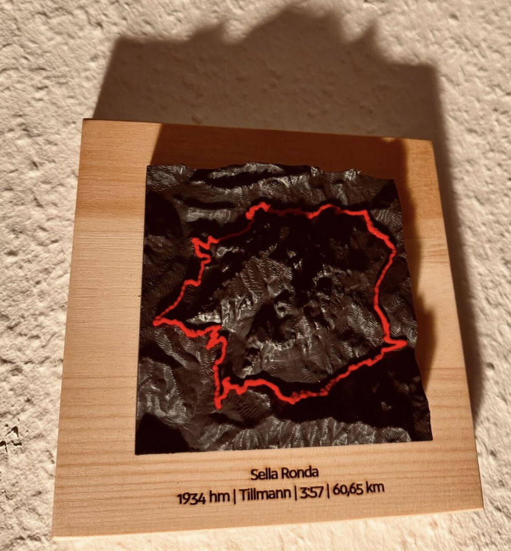
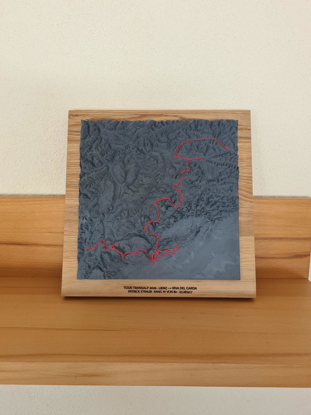
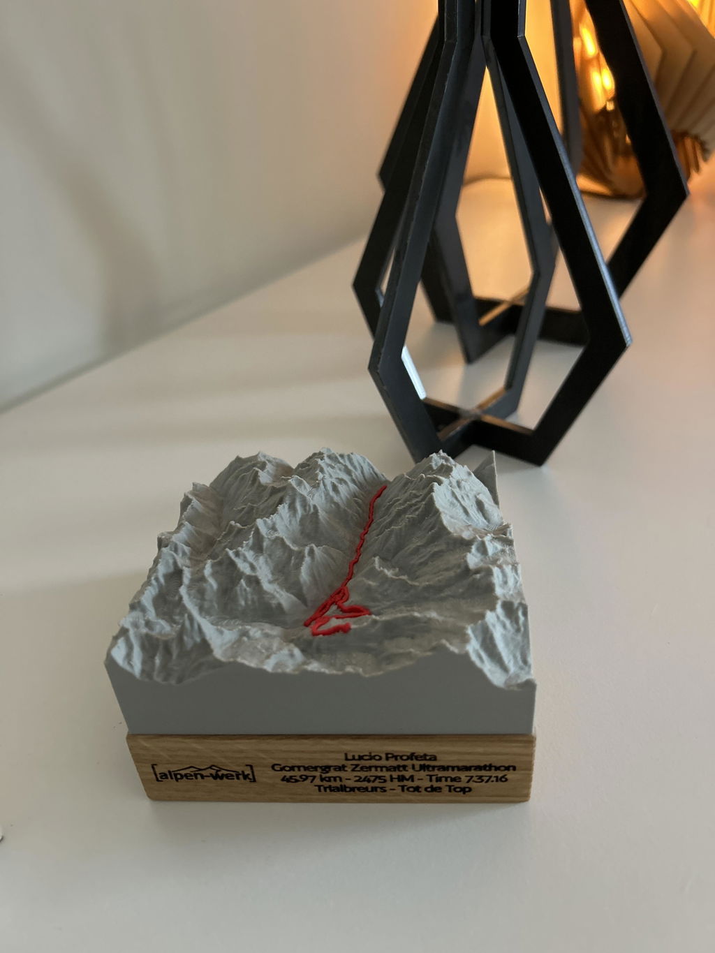
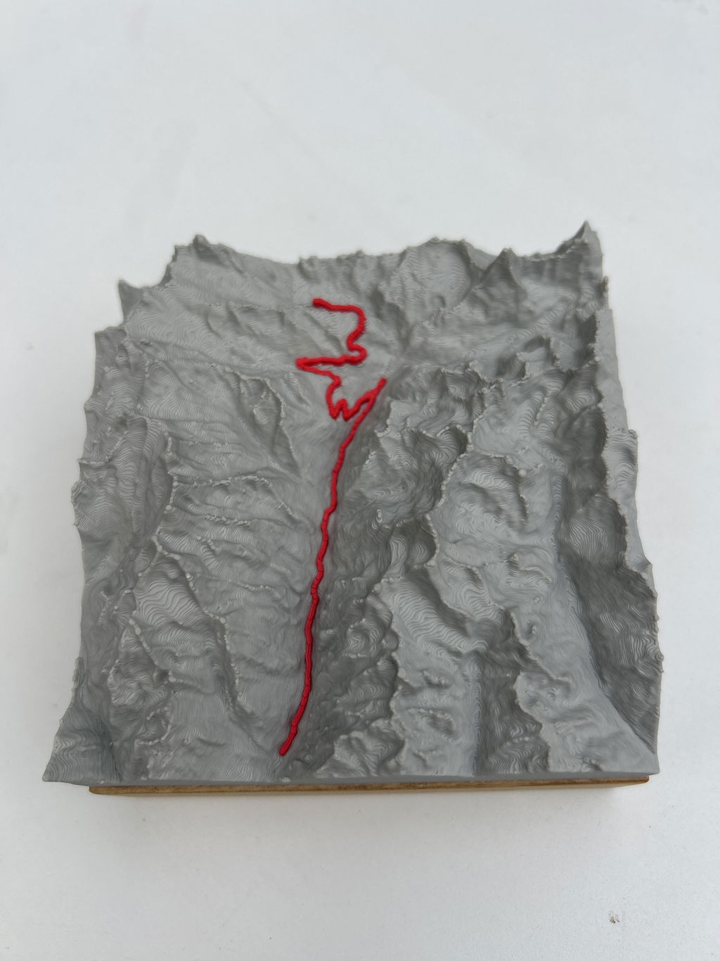
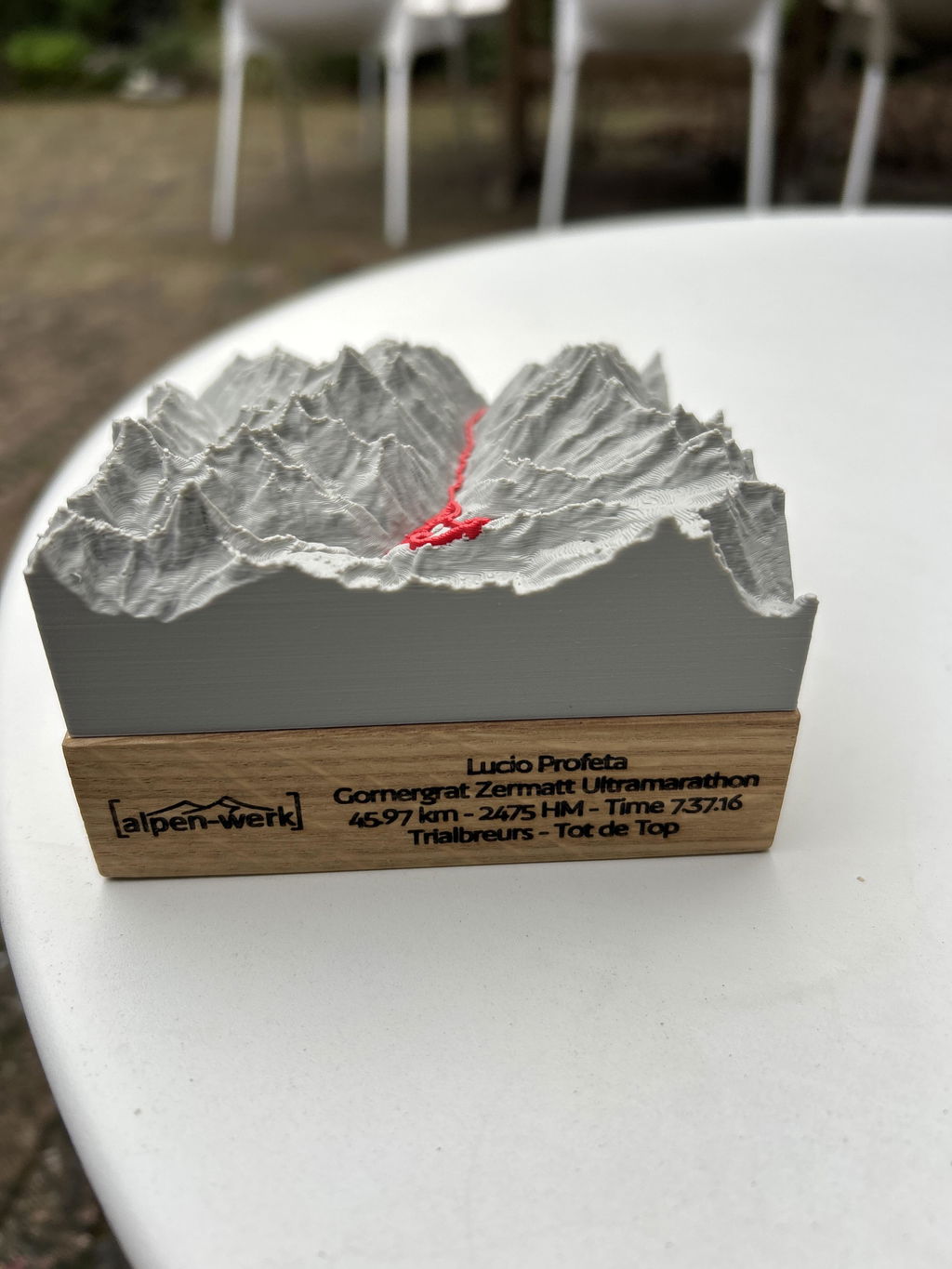
The track line is modeled as a raised line at a constant height above the terrain.
Up to 3 lines · engraved in dark brown.
Every mountain model is a handmade one-of-a-kind piece, made exactly as you want it. And if something still isn't right, we'll find a solution. That's a promise.
47.6646° N · 12.6463° E · Workshop in the Bavarian Alps
Not sure about the size or map area? Write to us. We'll help you personally.
Sa Calobra - Mallorca as a terrain map

Engraving: name, date, coordinates.
Up to three lines, permanently laser-engraved. We check your text by hand first.
Add engraving right here →When will your model arrive?
Duties and import taxes included for the US, UK, Switzerland, Liechtenstein, Norway, Andorra, Australia and New Zealand.
What you get.
Exact elevations
LiDAR + further geodata. Every meter of elevation is in the right place.
Solid wood
Oak (PEFC), hand-oiled, or stone pine (FSC + PEFC), unoiled.
Fair production
Production 3 to 8 business days, shipping 1 to 7 business days, customs duties and import taxes included for the US, UK, Switzerland, Liechtenstein, Norway, Andorra, Australia and New Zealand.
Single-color model
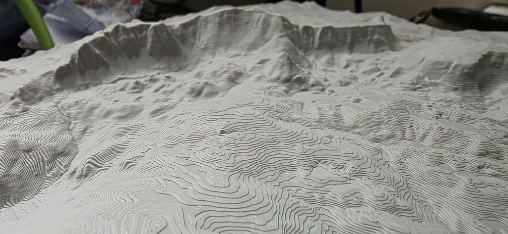
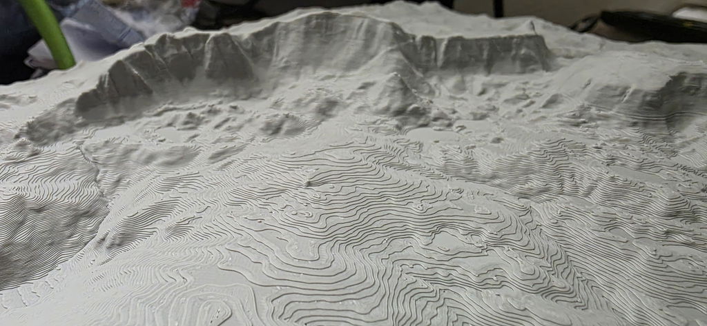
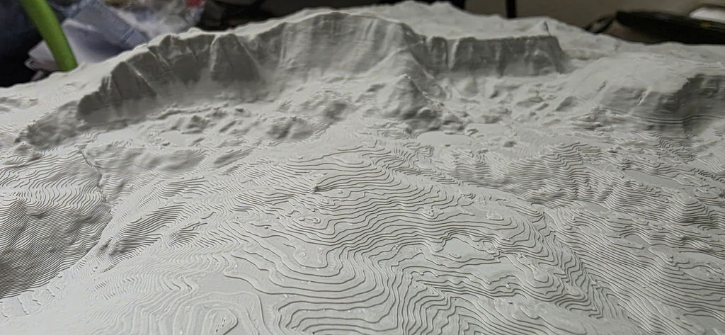
A calm, single-color print that shows every ridge and every gully.
Technical data.
- Production
- 3D printed, hand-mounted · Bavarian Alps
- Elevation data
- LiDAR elevation data from the official state surveying offices, measured by laser, accurate to 0.5 m
- Precision
- More precise than models made from freely available elevation data
- Wood base
- Solid wood, oak (PEFC) or stone pine (FSC + PEFC)
Your mountains to touch.
“The print is super precise, every detail is visible, in the landscape as well as on the track.”
Hannah R. · Track“Perfect as a keepsake gift. Just as high quality as the memory itself.”
Thomas B. · Track · Stilfser Joch“Great product, our son was thrilled when we gave it to him after the 100km Donautrail; beautifully crafted”
Reinhold K. · TrackAbout this mountain model
Sa Calobra in the Serra de Tramuntana (Mallorca, Spain): the mountain model shows the region as a 3D terrain map on a solid oak plate.
The road to Sa Calobra
Sa Calobra is a small village in the municipality of Escorca on the northwest coast of Mallorca. The village and bay can be reached via the serpentine road MA-2141 or by boat. The road was planned by the road engineer Antonio Parietti, and 31,000 cubic meters of rock were removed, mostly by hand, for its construction. It overcomes an elevation difference of 682 meters and counts 12 hairpin bends. The most striking spot is the Nus de sa Corbata, the “necktie knot”: in a 270-degree bend, the road passes under itself. The serpentine road is very popular with cyclists.
Pass and peak on the MA-2141
At kilometer 2.2 of the MA-2141, just before the road pass Coll de Cas Reis, stands the platform of the valley station of a cable car to the Puig Major that was never built, also a design by Parietti. At 1436 m, the Puig Major is the highest mountain on Mallorca; its summit was removed by five meters to build a radar installation. The road ends at the Cala de sa Calobra, where the Torrent de Pareis flows into the sea. From the parking lot, a 600-meter footpath leads to the mouth of its rock gorge.
Sa Calobra mountain model: Data
- Track: the route as a colored, raised line on the model
- Data basis: highly precise LiDAR elevation data for the Serra de Tramuntana, accurate to the millimeter
- Mountain model: 3D print in PLA, a bio-based polymer made mostly from renewable raw materials
- Base: solid oak plate, oiled
- Sizes: 10x10, 15x15, 20x20, 25x25 and 28x28 cm
- Colors: white, light gray, anthracite or black; price depends on size
- Production: handmade in Bavaria, optional custom engraving
Sa Calobra as a gift
This model finds its place with road cyclists who have ridden the serpentine road with the necktie knot, and with everyone who knows Mallorca and the Cala de sa Calobra.
Questions & answers.
01What is a model made of?
3D printed from bio-based PLA, mounted on a solid wood base: oak (PEFC) or stone pine from Austria (FSC + PEFC).
02What does LiDAR mean, and why does it make your model so accurate?
LiDAR is airborne laser surveying: an aircraft scans the terrain with millions of laser points, and the official state surveying offices turn them into an elevation model with a resolution of up to 0.5 m. This is exactly the data your model is based on, which is why every ridge, every gully and every summit sits exactly where it really is. Freely available satellite elevation data only resolves to 30 m, which is 60 times coarser. On top of that, we prepare every dataset for 3D printing in a dedicated quality step: cleaned, smoothed, with sharp rock edges and without digital artifacts.
03Which colors are available?
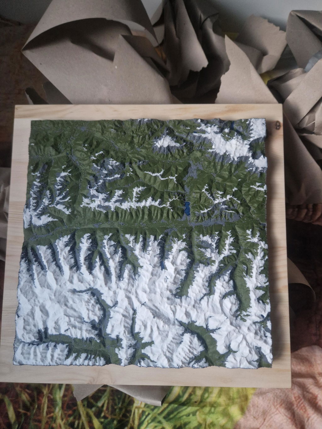
Single-color models (white, light gray, anthracite, black), two-color versions with a contrasting track line, or full color as Mountain Model Natural, our premium line in muted natural tones, colored with our own algorithm.
04How long does delivery take?
Production 3 to 8 business days, shipping 1 to 7 business days. For the US, UK, Switzerland, Liechtenstein, Norway, Andorra, Australia and New Zealand, customs duties and import taxes are included (DDP).
05What if something isn't right?
Every model is made to order (no right of withdrawal under §312g of the German Civil Code). If something isn't right, we will find a solution. That's a promise.
Design your own model.
Search for your summit, see it live in 3D and make it yours. Anywhere in the world.