Relief Map or Mountain Relief
Handmade in the Bavarian Alps.
A relief map shows a whole region with contour lines and names. A 3D mountain relief shows a mountain in a form you can touch. Here you can see how the two differ and when each one is the better choice. At alpen-werk you get both: the TrailMap as a map on solid oak and the mountain relief made from exact LiDAR elevation data.
Map or relief?


Two ways to show terrain
Almost everyone knows the classic relief map from school: a map whose surface gently shapes mountains and valleys, with rivers, towns and borders. It explains a large area at a glance. For mountains to be visible at all on such a large surface, the height is strongly exaggerated there.
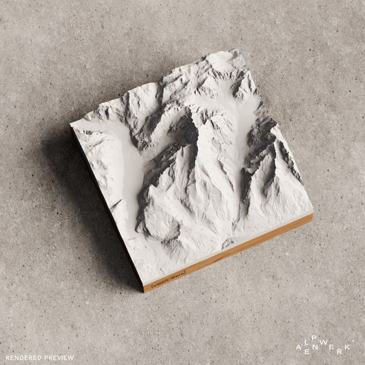
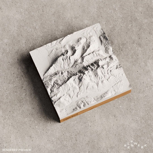
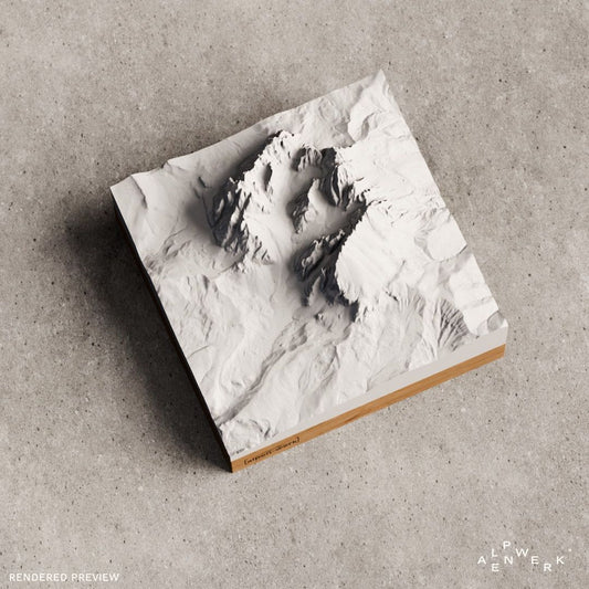
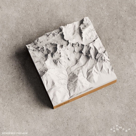
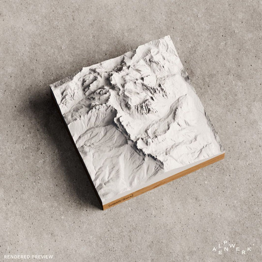
A 3D mountain relief takes the other approach. It shows a smaller area, usually a mountain, a massif or a tour, but as a true shape from elevation data. Ridges, gullies and cirques stand out from the surface. It is less a map than a model of the terrain.
The differences at a glance
- Area: The relief map shows countries, regions or mountain ranges. The mountain relief shows a mountain, a valley or your tour.
- Height: The relief map exaggerates heavily so that anything is visible on a large surface. The mountain relief reproduces the topography accurate to the millimeter, and you can set the height scaling yourself in the configurator.
- Labels: The relief map relies on names, lines and colors. The mountain relief shows the shape itself, and names and dates go on the base as an engraving.
- Material: Relief maps are usually made of vacuum-formed plastic or paper. The mountain relief stands on solid oak or stone pine, and the relief itself is made of bio-based PLA.
- Placement: The relief map hangs on the wall. The mountain relief comes as a desk version (Base) or for hanging (Wall).
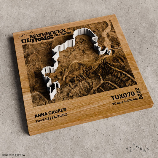
- Your own tour: On the relief map you draw it in with a pen. With Relief Track and the TrailMap, your GPX route is made as a raised line.
- Price: Relief Classic, Relief Track and TrailMap are priced by size, wood and engraving.
When the relief map is the better choice
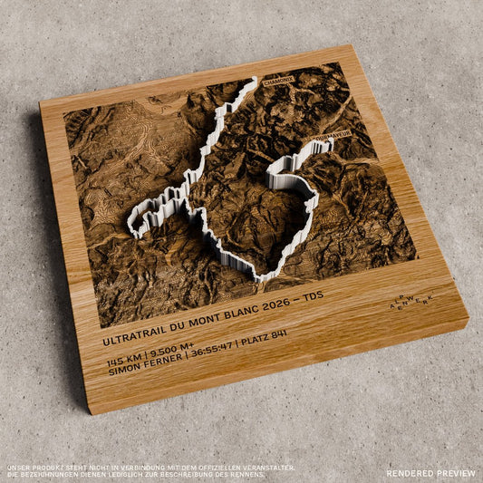
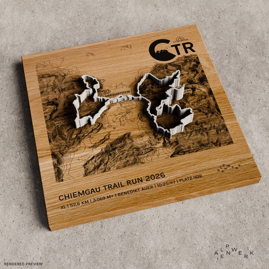
If you want to understand a large area, the map is stronger: which valleys lead where, where the mountain groups lie, how far it is from one place to the next. And when names and trails matter more than the shape of the terrain, a map is the right tool. That is why we make the TrailMap: a map on solid oak with engraved contour lines and place names, with your route running across it as a raised 3D print.
When the mountain relief is the better choice
When it is about a particular mountain, a summit you have climbed or a tour with elevation gain you don't want to forget. The relief shows the steepness of a flank, the depth of a cirque and the line of a ridge the way you experienced them on the way. With light from the side it becomes an object that changes throughout the day. As a gift, the mountain relief is usually the more personal choice, because it stands for a place and a moment.
Why relief maps have to exaggerate
The Alps are over 1,000 kilometers long, and the Zugspitze is just under 3 kilometers high. On a map of the whole Alps, every summit would be little more than a bump without exaggeration. That is why relief maps stretch the height considerably. On a mountain relief the area is much smaller, so no strong exaggeration is needed and the shape stays close to the real terrain. If you want a stronger effect, you set it yourself in the 3D preview and see the result immediately.
You can have both: map and relief from one workshop
The TrailMap is our answer for everyone who wants a map: contour lines and names are engraved, and the route stands raised above them. Relief Classic shows the mountain pure and in a single color, Relief Track with your tour, Relief Natural with rock, forest, meadow and water in color. Everything is made in ten production steps in our workshop in the Bavarian Alps, from the wooden base to the packaging.
Your region as a relief
Ready-made reliefs by mountain range: Allgäu Alps, Berchtesgaden Alps, Chiemgau Alps, Karwendel, Wetterstein Mountains, Zillertal Alps, Ötztal Alps, Hohe Tauern, Dolomites, Valais Alps, Bernese Oberland and Mont Blanc. Any other place in the world you choose yourself in the live 3D configurator.
Is a mountain relief a relief map?
Not quite. Both show terrain in three dimensions, but the relief map is a map with names and lines over a large area, while the mountain relief is a model of a smaller area in which the shape itself plays the main role.
Can I get a relief map of my own area?
Yes. In the configurator you choose any area in the world, whether your home mountain, your home valley or an entire mountain group, and see it immediately as a 3D preview.
How accurate is a mountain relief?
Every relief is made from exact LiDAR elevation data and shows the topography accurate to the millimeter. On the finished relief you will recognize trails, notches and lakes.
Which is better as a gift?
For a favorite mountain or a special tour, the mountain relief; for a route with places and names, the TrailMap. Both are available with engraving. Ideas by occasion are under Gifts for Hikers and Gifts for Mountaineers.
Do you ship outside Germany?
Yes. We ship to over 35 countries, and duties and import taxes are included in the price for deliveries abroad.
True scale or exaggerated?
The same cross-section twice: once at true height ratio, once exaggerated four times, as relief maps of large areas need it. On a mountain relief you set the height scaling yourself in the configurator.
Drag the slider

Map, relief or both?
The TrailMap for routes with places and names, the reliefs for the mountain as a shape.


All prices incl. VAT · Live 3D preview · Handmade in the Bavarian Alps
-
Mountain Model Classic | Custom
通常価格 49,00 €から通常価格単価 あたり -
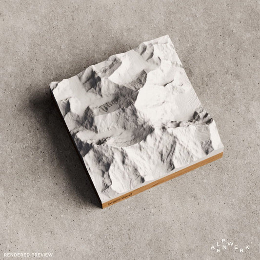
Mountain Model Classic | Watzmann
通常価格 49,00 €から通常価格単価 あたり -
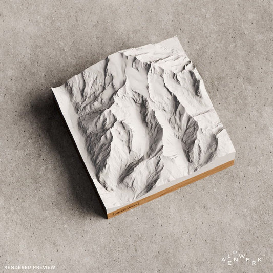
Mountain Model Classic | Matterhorn
通常価格 49,00 €から通常価格単価 あたり -
TrailMap | Mayrhofen Ultraks | 2026
通常価格 109,00 €から通常価格単価 あたり -
TrailMap | Ötztaler Radmarathon | 2026
通常価格 109,00 €から通常価格単価 あたり -
Mountain Model Classic | Alpspitze, Höllental, Zugspitze, Jubiläumsgrat
通常価格 49,00 €から通常価格単価 あたり -
Mountain Model Classic | Wilder Kaiser
通常価格 49,00 €から通常価格単価 あたり -
TrailMap | Ultratrail du Mont Blanc | 2026
通常価格 109,00 €から通常価格単価 あたり -
Mountain Model Classic | Langkofelgruppe
通常価格 49,00 €から通常価格単価 あたり -
Mountain Model Classic | Kilimanjaro | Uhuru Peak
通常価格 49,00 €から通常価格単価 あたり -
Mountain Model Classic | Hoher Dachstein
通常価格 49,00 €から通常価格単価 あたり -
TrailMap | Custom
通常価格 189,00 €通常価格単価 あたり -
Mountain Model Classic | Rosengartengruppe
通常価格 49,00 €から通常価格単価 あたり -
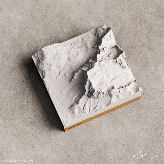
Mountain Model Classic | Mount Everest
通常価格 49,00 €から通常価格単価 あたり -
Mountain Model Classic | Großglockner
通常価格 49,00 €から通常価格単価 あたり -
Mountain Model Classic | Mont Blanc
通常価格 49,00 €から通常価格単価 あたり -
Mountain Model Classic | Drei Zinnen
通常価格 49,00 €から通常価格単価 あたり -
Mountain Model Classic | Zugspitze
通常価格 49,00 €から通常価格単価 あたり -
Mountain Model Classic | Oberstdorf
通常価格 49,00 €から通常価格単価 あたり -
Mountain Model Classic | Zugspitzmassiv
通常価格 49,00 €から通常価格単価 あたり -
Mountain Model Classic | Dachsteinmassiv
通常価格 49,00 €から通常価格単価 あたり -
Mountain Model Classic | Eiger, Jungfrau Mönch
通常価格 49,00 €から通常価格単価 あたり -
TrailMap | Chiemgau Trail Run | 2026
通常価格 109,00 €から通常価格単価 あたり -
TrailMap | Oberaudorf Trail Festival | 2026
通常価格 109,00 €から通常価格単価 あたり




















Your own area?
Design any summit and any tour yourself, live in 3D.