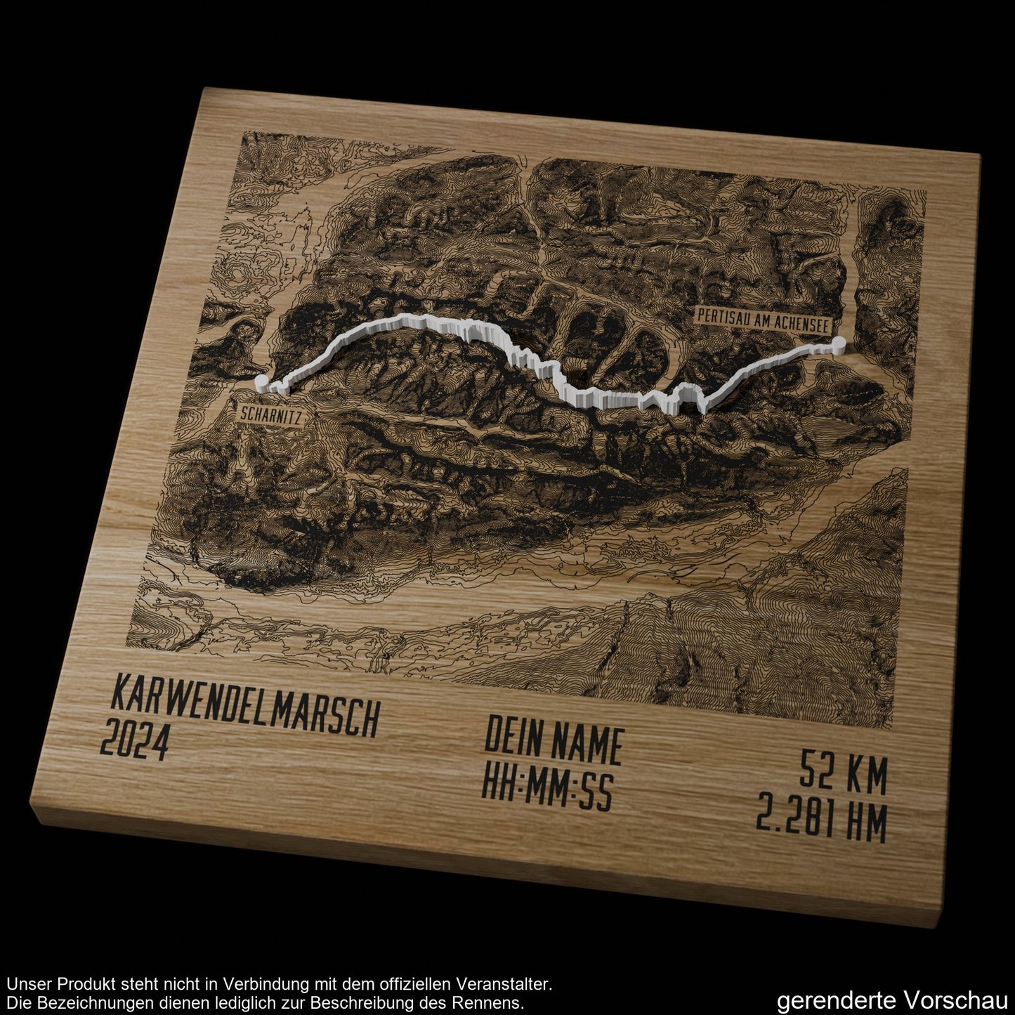
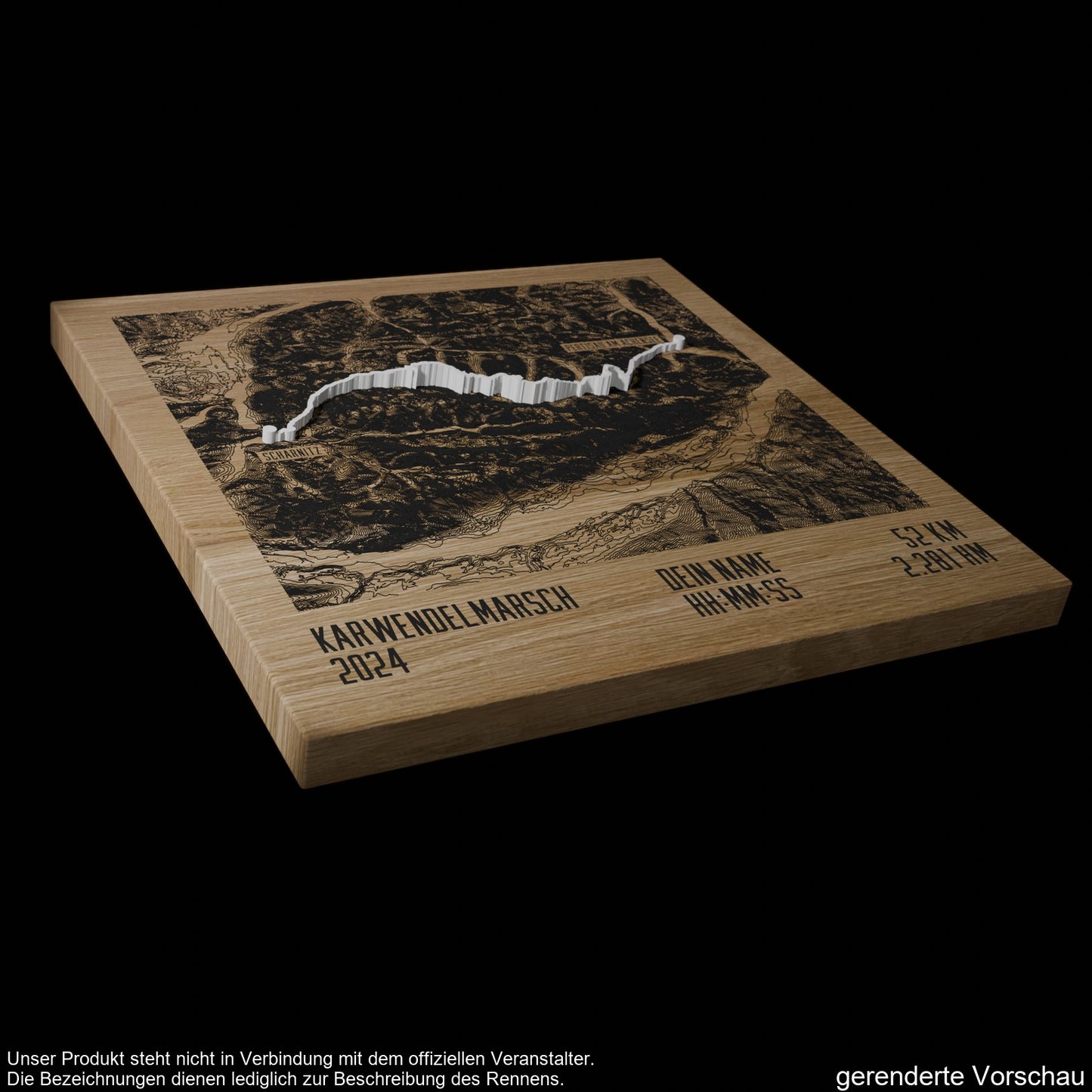
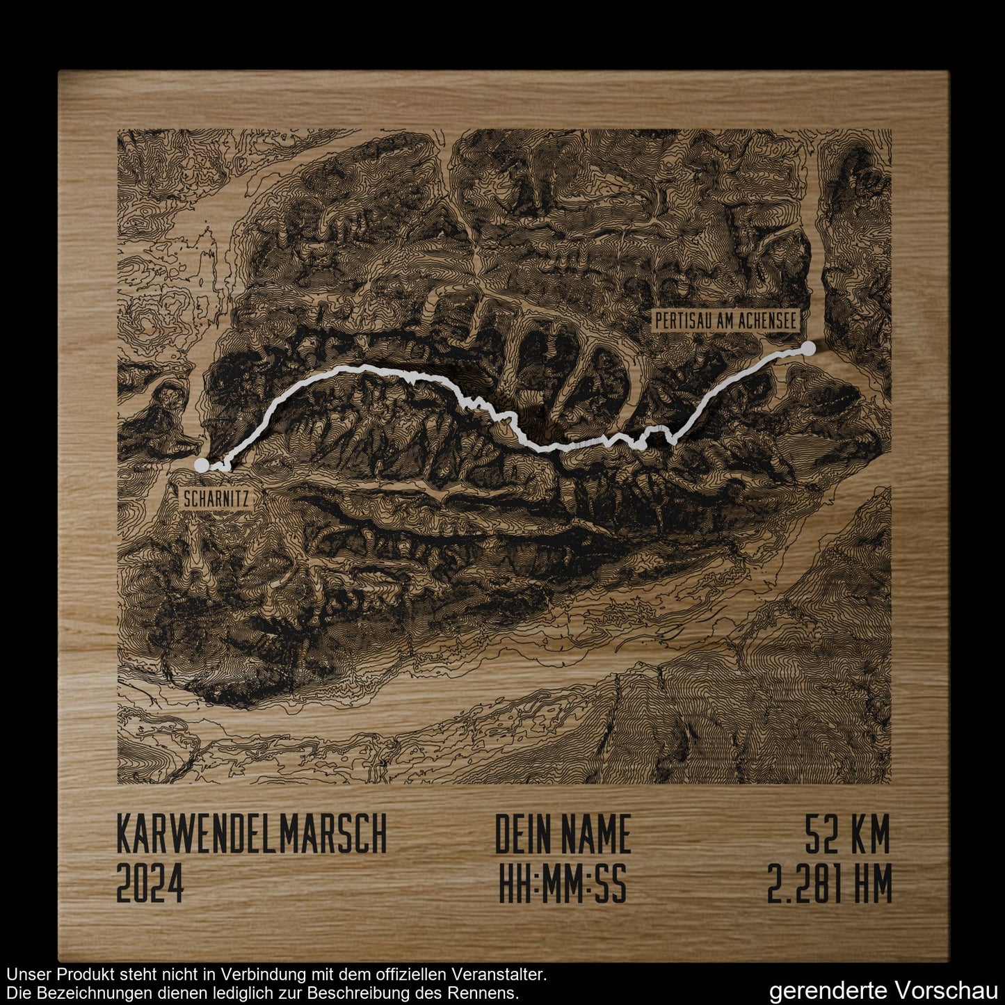
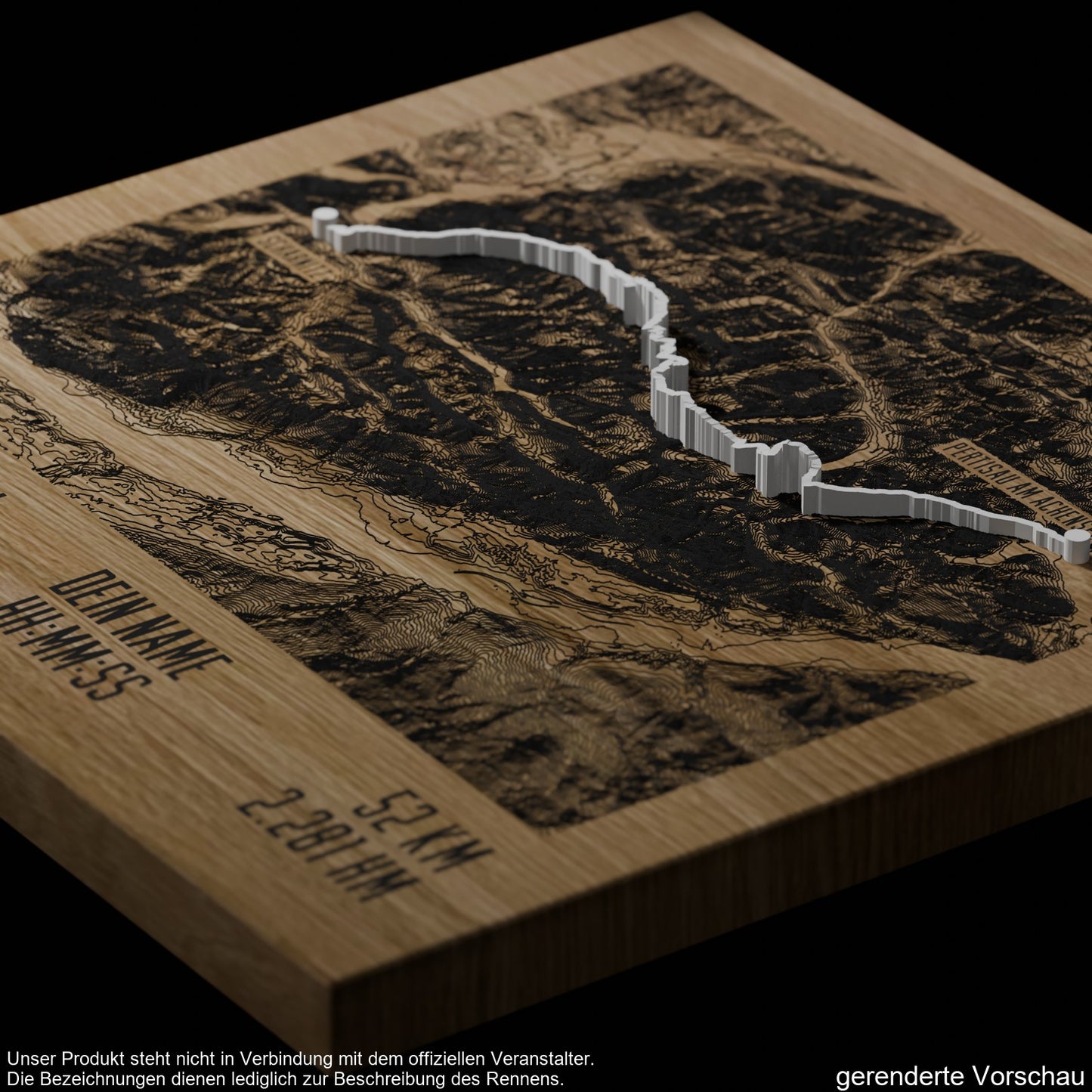
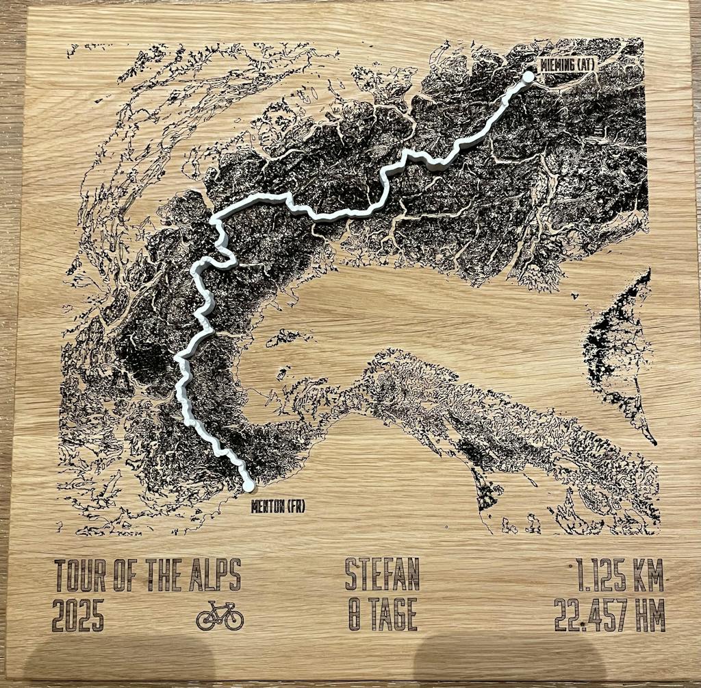
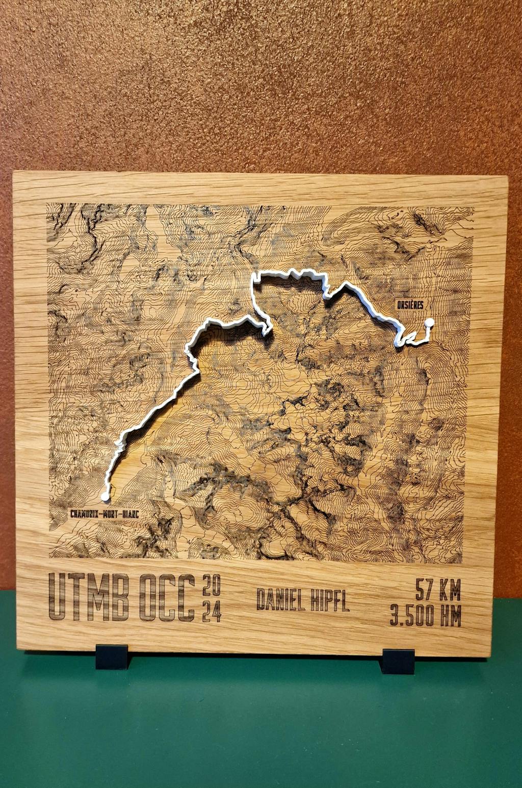
Karwendelmarsch 2024 and 2025, 52 km for hikers and mountain runners from Scharnitz through the Karwendel to Pertisau at the Achensee. This TrailMap shows the route as a contour line map, laser engraved into solid oak, with the route as a raised 3D line on top.
Straight across the Karwendel
The route follows existing paths only. From the start in Scharnitz (964 m) it goes to the Schafstallboden, up to the Karwendelhaus at 1,771 m, over the Kleinen Ahornboden to the Falkenhütte at 1,848 m and down into the Eng, the finish of the short route at 35 km. The long route continues via Binsalm, Gramai Hochleger, Gramai Alm and Falzturn Alm to Pertisau at the Achensee at 932 m, its highest point is the Binssattel at 1,903 m. The march is organized by Achensee Tourismus and the Seefeld region in close coordination with the Karwendel Nature Park. It was revived in 2009, and its fixed date is the last Saturday in August. In 2024, about a third of the participants ran, the rest marched or hiked.
The 2024 and 2025 editions
-
2024: the 15th Karwendelmarsch on August 31, 2024, in sunshine and summery conditions
-
2025: the 16th Karwendelmarsch on August 30, 2025
For both years, the map shows the long route of 52 km and 2,281 meters of elevation gain from Scharnitz to Pertisau.
What is on the map
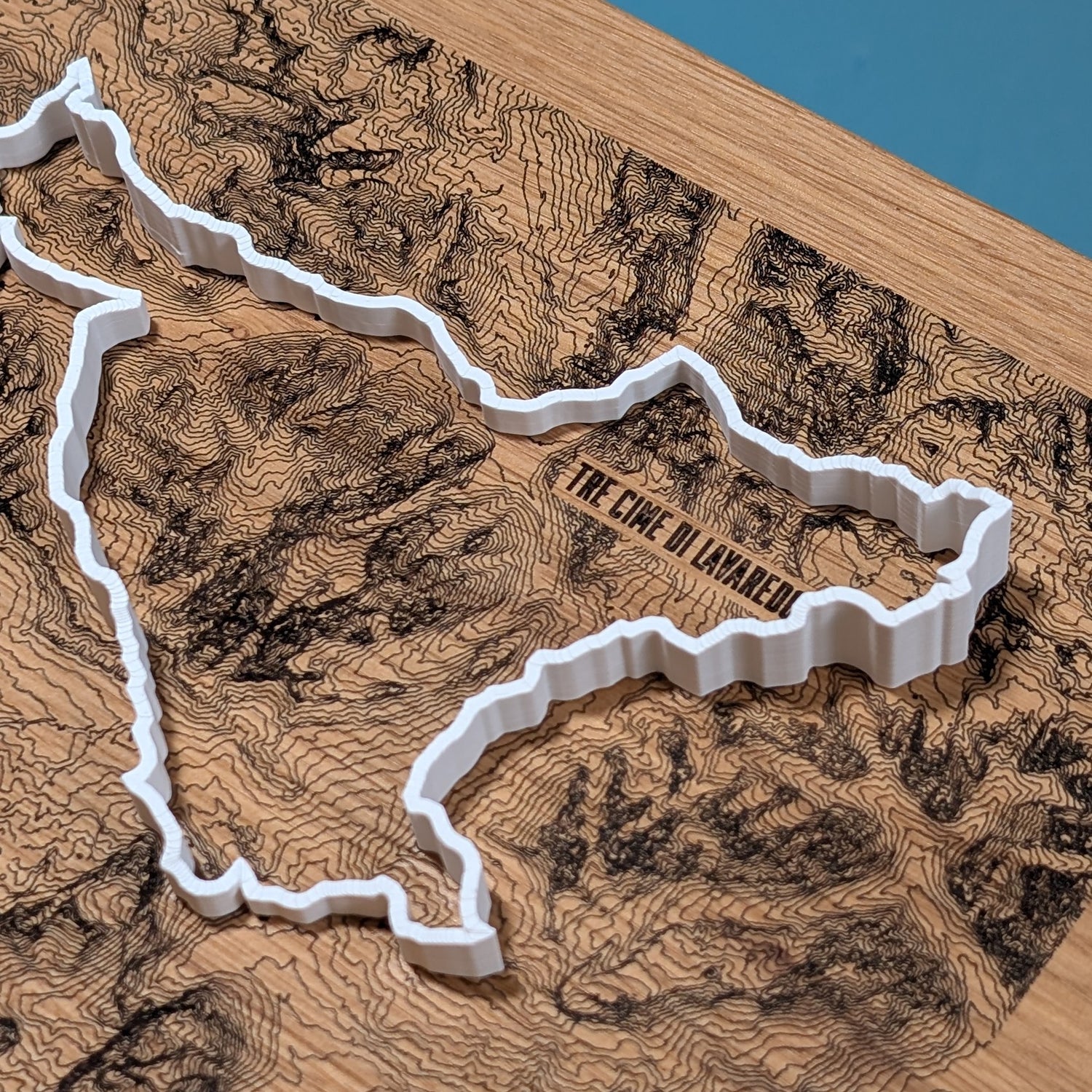
The contour lines of the Karwendel are laser engraved into solid oak, with the route lying on top as a raised, 3D-printed line in white, light gray, anthracite or black. Scharnitz and Pertisau at the Achensee are labeled. Engraved below: Karwendelmarsch with the chosen year, 52 km and 2,281 meters of elevation gain, plus name, time and placing, exactly as you enter them when ordering. Size 30 x 30 cm, handmade in the Chiemgau.
For finishers and their crews
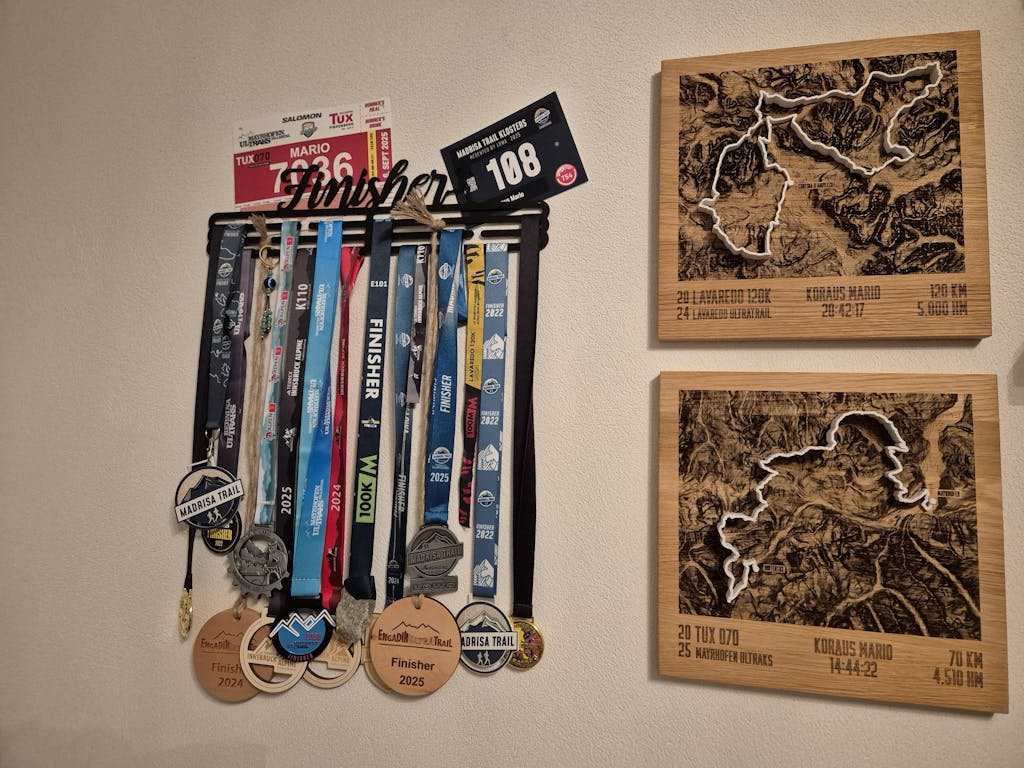
Karwendelhaus, Falkenhütte, Eng and the finish in Pertisau: a keepsake of the Karwendelmarsch for marchers, hikers and mountain runners and for the people who welcomed them at the Achensee.
alpen-werk is not affiliated with the official organizer.